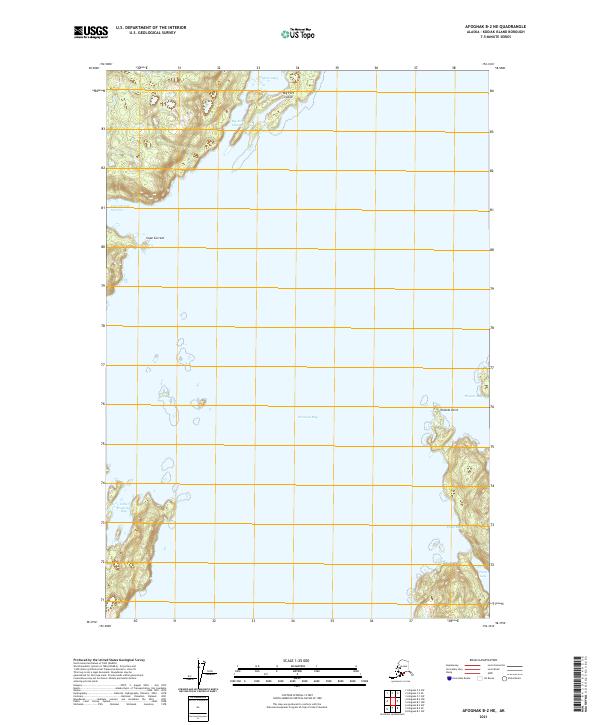
2021 Map of Afognak B-2 NE
USGS Topo · Published 2021About this map
Perenosa Bay dominates the central waters of this 2021 survey, a region of the Kodiak Island Archipelago defined by intricate shorelines and dramatic coastal topography. The northern reaches are shaped by Andreon Bay and the sheltering presence of Big Fort Island, while Cape Current stands as a prominent maritime landmark to the west. This map details a landscape where the North Pacific interacts with the shore through narrow passages like Cope Current Narrows and deep inlets such as Phoenix Bay.
Find a feature on this map
17 named features on this map. Tap any name to fly to it.
Don’t see what you’re looking for? This feature index may not catch every label — zoom into the map to look around manually.
Map Details
Editions of this 2021 Afognak B-2 NE Map
This is the sole edition of this map. No revisions or reprints were ever made.
Other maps of this area

1952 · Afognak
USGS Topo · 1:250,000

1952 · Afognak C-1 and C-2
USGS Topo · 1:63,360
1952 · Afognak C-2 and C-3
USGS Topo · 1:63,360

1952 · Afognak B-2
USGS Topo · 1:63,360

1952 · Afognak B-1
USGS Topo · 1:63,360
1954 · Afognak C-2 and C-3
USGS Topo · 1:63,360

1954 · Afognak B-2
USGS Topo · 1:63,360
1954 · Afognak C-1 and C-2
USGS Topo · 1:63,360
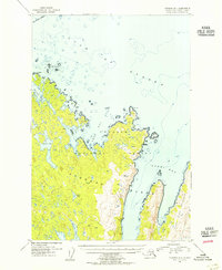
1954 · Afognak B-1
USGS Topo · 1:63,360
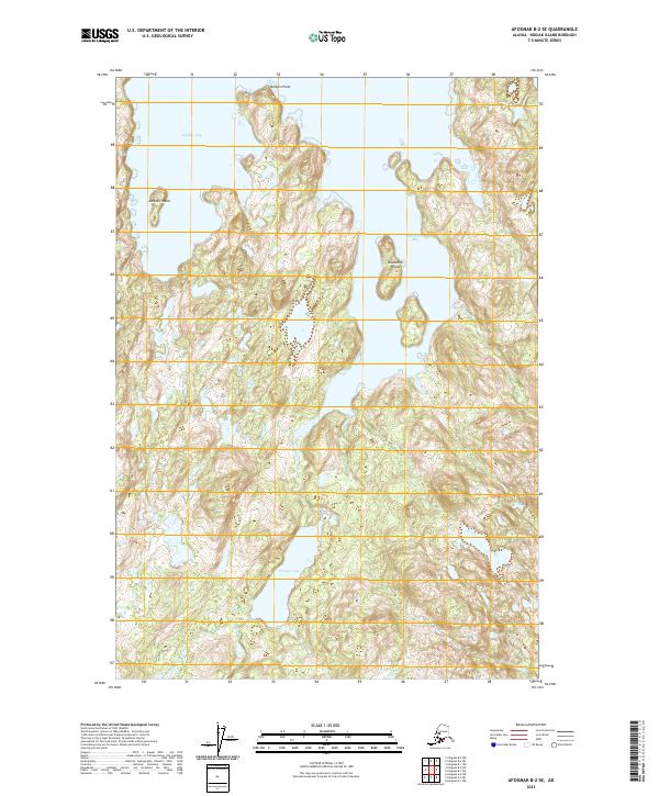
2021 · Afognak B-2 SE
USGS Topo · 1:25,000