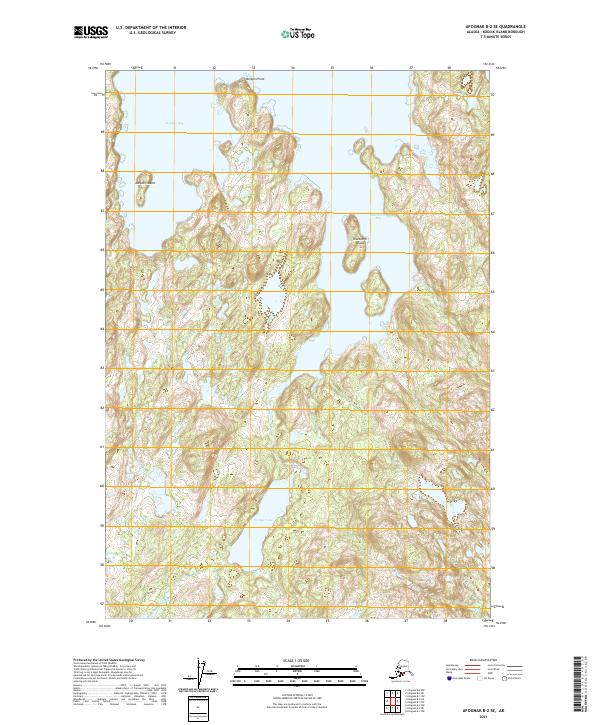
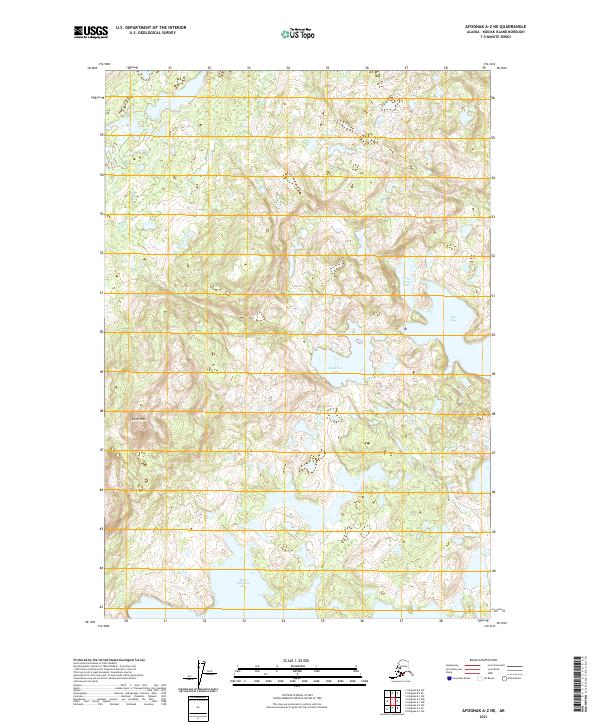
2021 Map of Afognak B-2 SE
USGS Topo · Published 2021About this map
The coastal indentations and glacial terrain of Kodiak Island define this 2021 topographic study. Two major inlets, Dolphin Bay to the north and Discoverer Bay to the east, dominate the landscape, separated by high, unnamed ridges that rise steeply from the shoreline. These deep-water bays are punctuated by significant landforms like Delphin Island and Discoverer Island, which guard the entrances to these protected coves. Inland, the topography is characterized by a high concentration of unnamed water bodies and marshy depressions, including Portage Lake. This landscape, documented in the modern era, shows no road infrastructure or named settlements, reflecting the wilderness character of the region where landmarks like Delphin Point serve as the primary navigational markers for the coastline.
Find a feature on this map
10 named features on this map. Tap any name to fly to it.
Don’t see what you’re looking for? This feature index may not catch every label — zoom into the map to look around manually.
Map Details
Editions of this 2021 Afognak B-2 SE Map
This is the sole edition of this map. No revisions or reprints were ever made.
Other maps of this area

1952 · Afognak
USGS Topo · 1:250,000

1952 · Afognak A-1
USGS Topo · 1:63,360

1952 · Afognak A-2
USGS Topo · 1:63,360

1952 · Afognak B-2
USGS Topo · 1:63,360

1952 · Afognak B-1
USGS Topo · 1:63,360
1953 · Afognak A-1
USGS Topo · 1:63,360

1954 · Afognak B-2
USGS Topo · 1:63,360
1954 · Afognak A-2
USGS Topo · 1:63,360
1954 · Afognak B-1
USGS Topo · 1:63,360
2021 · Afognak A-2 NE
USGS Topo · 1:25,000