
1952 Map of Afognak C-1 and C-2
USGS Topo · Published 1965About this map
Shuyak Island State Park defines the northern reaches of the Kodiak Archipelago, showing a landscape defined by intricate waterways and coastal infrastructure during the early 1950s. The presence of the Shuyak Radio Communication Center and an adjacent Seaplane Base at the head of Back Bay underscores the strategic and logistical importance of this area for maritime and aerial navigation in the Gulf of Alaska.
Find a feature on this map
17 named features on this map. Tap any name to fly to it.
Don’t see what you’re looking for? This feature index may not catch every label — zoom into the map to look around manually.
Map Details
Editions of this 1952 Afognak C-1 and C-2 Map
2 editions found
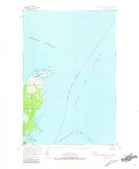
Other maps of this area
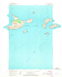
1951 · Afognak D-1
USGS Topo · 1:63,360

1952 · Afognak
USGS Topo · 1:250,000
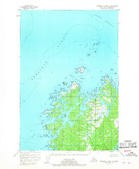
1952 · Afognak C-2 and C-3
USGS Topo · 1:63,360

1952 · Afognak B-2
USGS Topo · 1:63,360

1952 · Afognak B-1
USGS Topo · 1:63,360
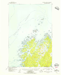
1954 · Afognak C-2 and C-3
USGS Topo · 1:63,360

1954 · Afognak B-2
USGS Topo · 1:63,360
1954 · Afognak C-1 and C-2
USGS Topo · 1:63,360
1954 · Afognak B-1
USGS Topo · 1:63,360
2021 · Afognak B-2 NE
USGS Topo · 1:25,000