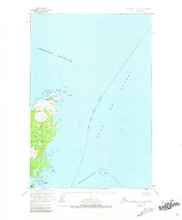
1952 Map of Afognak C-1 and C-2
USGS Topo · Published 1981About this map
Shuyak Island dominates this 1952 nautical and coastal survey, serving as a vital outpost in the Stevenson Entrance at the northern tip of the Kodiak archipelago. The landscape is defined by its complex shoreline of bays and inlets, including Back Bay and Andreon Bay, where the Shuyak Radio Communication Center and a Seaplane Base mark the mid-century infrastructure of the Alaskan territory. These features suggest the area's importance for maritime communication and coastal transit before later expansions of the Chugach Nat For.
Find a feature on this map
21 named features on this map. Tap any name to fly to it.
Don’t see what you’re looking for? This feature index may not catch every label — zoom into the map to look around manually.
Map Details
Editions of this 1952 Afognak C-1 and C-2 Map
2 editions found
Other maps of this area
1951 · Afognak D-1
USGS Topo · 1:63,360

1952 · Afognak
USGS Topo · 1:250,000

1952 · Afognak C-1 and C-2
USGS Topo · 1:63,360
1952 · Afognak C-2 and C-3
USGS Topo · 1:63,360

1952 · Afognak B-2
USGS Topo · 1:63,360

1952 · Afognak B-1
USGS Topo · 1:63,360
1954 · Afognak C-2 and C-3
USGS Topo · 1:63,360

1954 · Afognak B-2
USGS Topo · 1:63,360
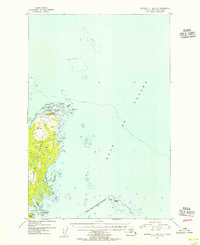
1954 · Afognak C-1 and C-2
USGS Topo · 1:63,360
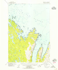
1954 · Afognak B-1
USGS Topo · 1:63,360