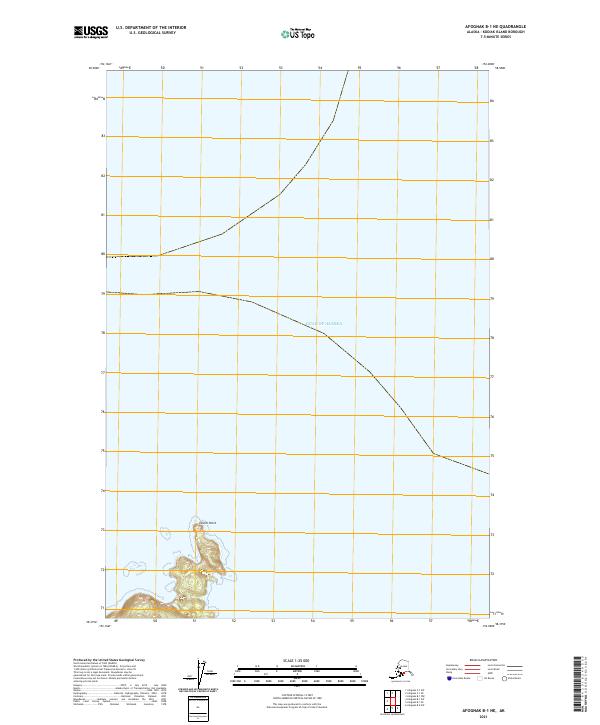
2021 Map of Afognak B-1 NE
USGS Topo · Published 2021About this map
Tolstoi Point marks the prominent coastal landmark on this portion of the northern Afognak Island coastline. The map focuses on the interface between the Gulf of Alaska and the steep, rising terrain of the island, characterized by rapid elevation gains just inland from the shore. This 2021 survey details the complex maritime boundary and public land survey system lines including t20s r17w and t21s r18w. The landscape here is defined by its isolation and the dramatic coastal contours typical of the Kodiak Archipelago, showing a wilderness area where the topographic detail primarily serves to navigate the immediate shoreline and neighboring waters.
Find a feature on this map
6 named features on this map. Tap any name to fly to it.
Don’t see what you’re looking for? This feature index may not catch every label — zoom into the map to look around manually.
Map Details
Editions of this 2021 Afognak B-1 NE Map
This is the sole edition of this map. No revisions or reprints were ever made.
Other maps of this area

1952 · Afognak
USGS Topo · 1:250,000

1952 · Afognak C-1 and C-2
USGS Topo · 1:63,360

1952 · Afognak B-1
USGS Topo · 1:63,360
1952 · Afognak A-0 and B-0
USGS Topo · 1:63,360
1953 · Afognak A-0 and B-0
USGS Topo · 1:63,360
1954 · Afognak C-1 and C-2
USGS Topo · 1:63,360
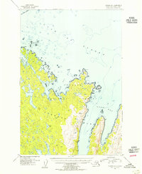
1954 · Afognak B-1
USGS Topo · 1:63,360
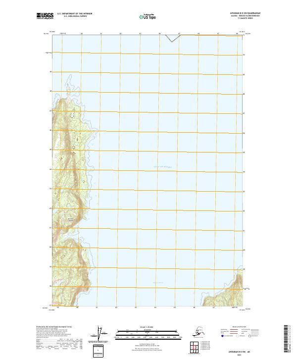
2021 · Afognak B-0 SW
USGS Topo · 1:25,000
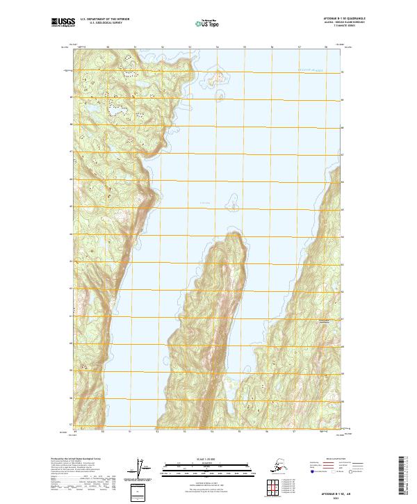
2021 · Afognak B-1 SE
USGS Topo · 1:25,000
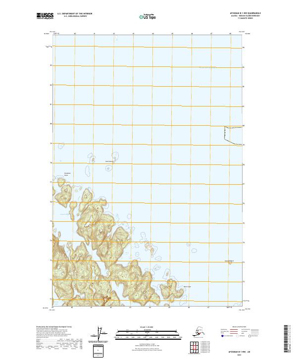
2021 · Afognak B-1 NW
USGS Topo · 1:25,000