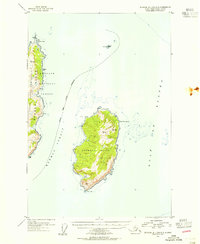
1953 Map of Afognak A-0 and B-0
USGS Topo · Published 1955About this map
Marmot Island and the eastern fringes of Afognak Island dominate this mid-century maritime survey, revealing a landscape defined by the relentless forces of the Gulf of Alaska. The terrain is characterized by steep coastal bluffs and high peaks such as Marmot and Kay, while the southwestern tip of the island features a unique Tidal Basin sheltered by Marmot Cape. On the adjacent Tonki Cape Peninsula, a solitary Light stands at Tonki Cape, marking a critical navigation point for vessels traversing Marmot Strait. Much of the peninsula falls within the Chugach National Forest, where the boundary is noted as approximate along the high ridges. This document captures the coastal geography prior to major changes in modern mapping, detailing offshore hazards like Sealion Rocks and the prominent headland of Cape St Hermogenes.
Find a feature on this map
27 named features on this map. Tap any name to fly to it.
Don’t see what you’re looking for? This feature index may not catch every label — zoom into the map to look around manually.
Map Details
Editions of this 1953 Afognak A-0 and B-0 Map
This is the sole edition of this map. No revisions or reprints were ever made.
Other maps of this area

1952 · Afognak
USGS Topo · 1:250,000

1952 · Afognak A-1
USGS Topo · 1:63,360

1952 · Afognak B-1
USGS Topo · 1:63,360
1952 · Afognak A-0 and B-0
USGS Topo · 1:63,360
1953 · Afognak A-1
USGS Topo · 1:63,360
1954 · Afognak B-1
USGS Topo · 1:63,360
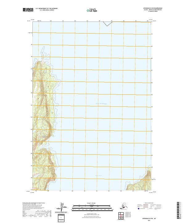
2021 · Afognak B-0 SW
USGS Topo · 1:25,000
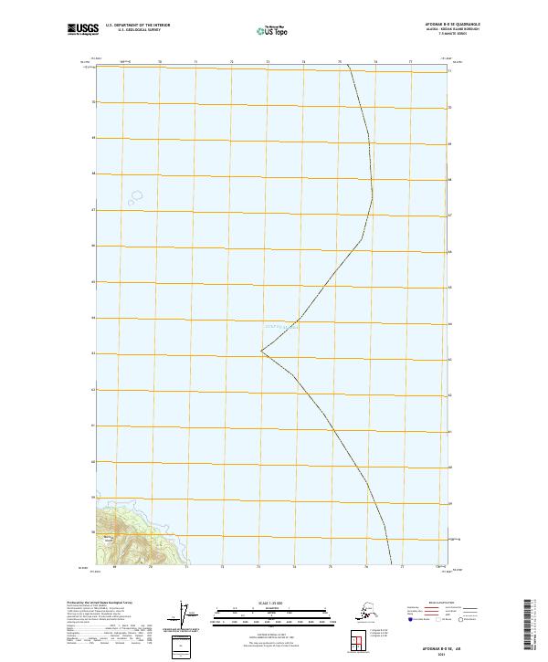
2021 · Afognak B-0 SE
USGS Topo · 1:25,000
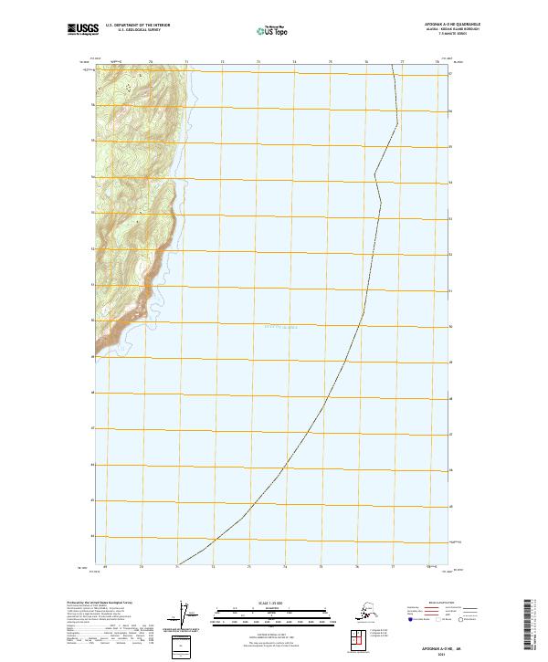
2021 · Afognak A-0 NE
USGS Topo · 1:25,000
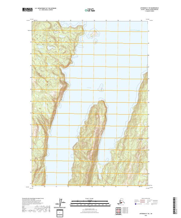
2021 · Afognak B-1 SE
USGS Topo · 1:25,000