2021 Map of Afognak B-0 SE
USGS Topo · Published 2021About this map
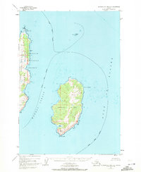
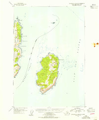
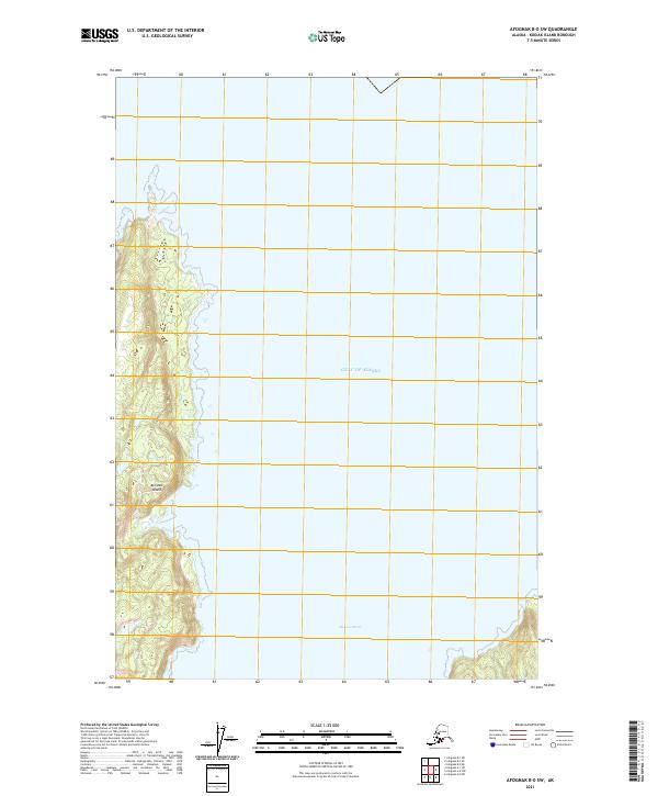
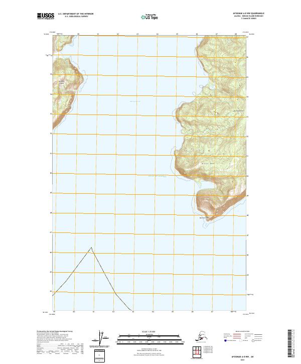
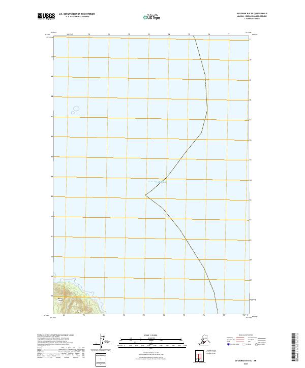
Marmot Island anchors the southwestern corner of this survey, standing as a prominent landmass within the open waters of the Gulf of Alaska. The map primarily illustrates the maritime expanse surrounding the island, where the intersection of the Public Land Survey System grids, including t21s r16w, t22s r16w, and t22s r15w, provides a structured overlay on the sea. This 2021 edition reflects the ongoing cartographic record of Kodiak Island's outlying territories, highlighting the stark topography of the island's coastal fringe against the deep offshore environment.
Find a feature on this map
5 named features on this map. Tap any name to fly to it.
Don’t see what you’re looking for? This feature index may not catch every label — zoom into the map to look around manually.
Map Details
Editions of this 2021 Afognak B-0 SE Map
This is the sole edition of this map. No revisions or reprints were ever made.