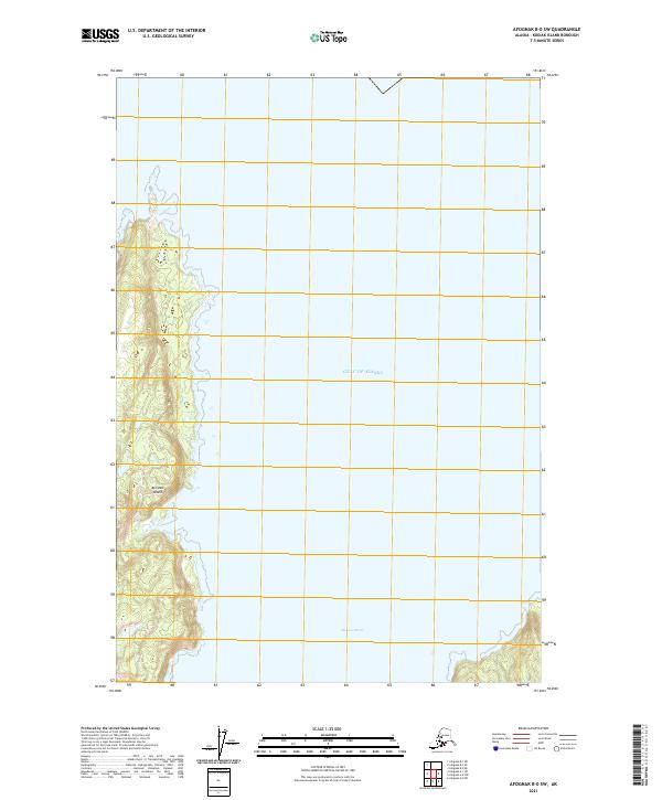
2021 Map of Afognak B-0 SW
USGS Topo · Published 2021About this map
Afognak Island defines the western portion of this maritime survey, showing the rugged coastline and interior elevation contours of this northern Kodiak archipelago landscape. The map is dominated by the open waters of the Gulf of Alaska and Marmot Strait, reflecting the area's isolation and reliance on sea-based navigation. Because there are no roads or settlements printed on this portion of the island, the data highlights the raw physical geography, documenting the precise shoreline and tidal zones as they existed in the early twenty-first century. This level of detail is critical for understanding the coastal morphology and maritime boundaries of the region, including the township and range lines such as t22s r17w and t21s r16w that segment the wilderness and surrounding waters into the Public Land Survey System grid.
Find a feature on this map
7 named features on this map. Tap any name to fly to it.
Don’t see what you’re looking for? This feature index may not catch every label — zoom into the map to look around manually.
Map Details
Editions of this 2021 Afognak B-0 SW Map
This is the sole edition of this map. No revisions or reprints were ever made.
Other maps of this area

1952 · Afognak
USGS Topo · 1:250,000

1952 · Afognak A-1
USGS Topo · 1:63,360

1952 · Afognak B-1
USGS Topo · 1:63,360
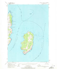
1952 · Afognak A-0 and B-0
USGS Topo · 1:63,360
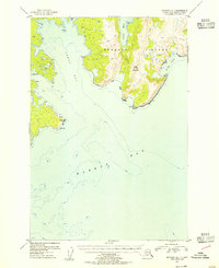
1953 · Afognak A-1
USGS Topo · 1:63,360
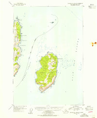
1953 · Afognak A-0 and B-0
USGS Topo · 1:63,360
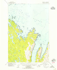
1954 · Afognak B-1
USGS Topo · 1:63,360
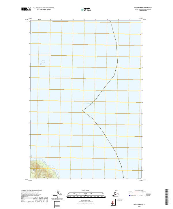
2021 · Afognak B-0 SE
USGS Topo · 1:25,000
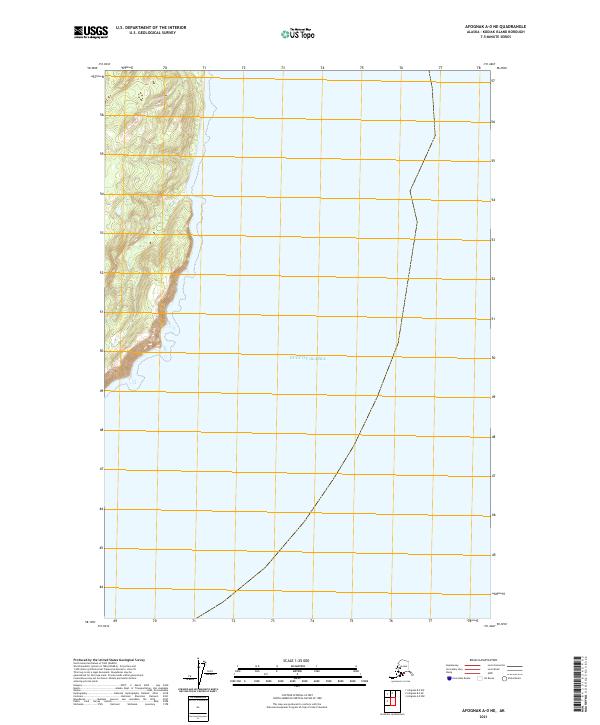
2021 · Afognak A-0 NE
USGS Topo · 1:25,000
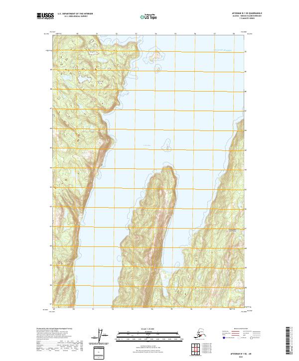
2021 · Afognak B-1 SE
USGS Topo · 1:25,000