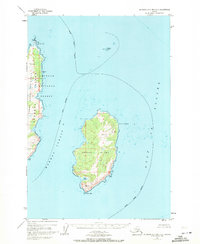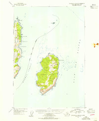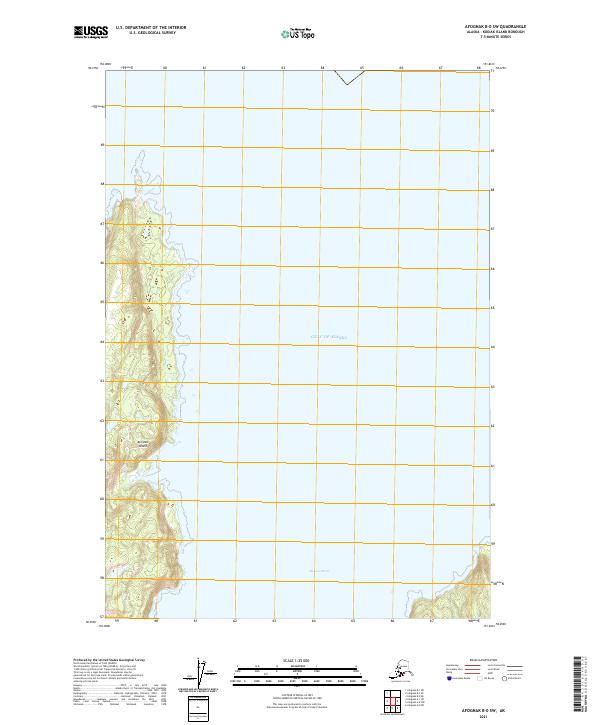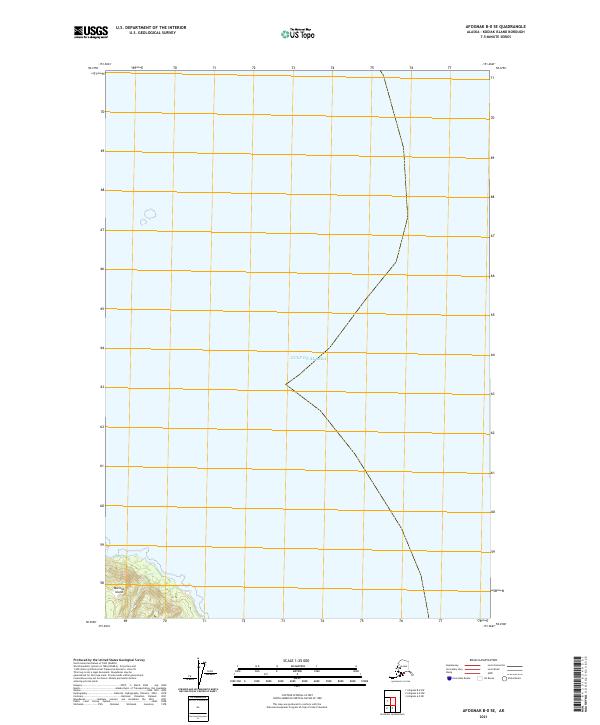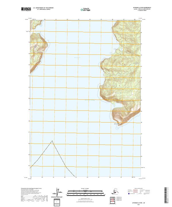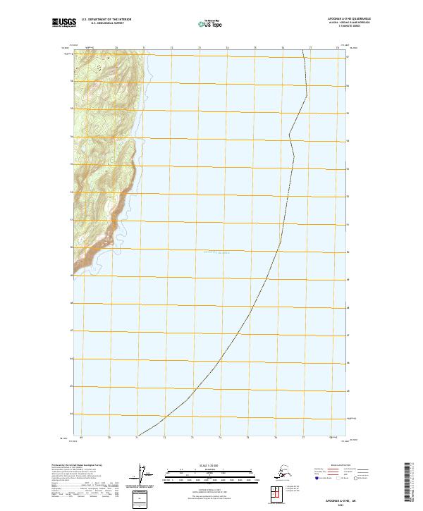
2021 Map of Afognak A-0 NE
USGS Topo · Published 2021About this map
The vast expanse of the Gulf of Alaska dominates this coastal survey of the Afognak region. High-resolution contours depict the steep, rising shoreline on the western edge of the quadrangle, where the terrain climbs quickly from the water's edge into the interior of the island. This specific 2021 edition provides a contemporary look at the topographical interface between the North Pacific and the remote coastlines of the Kodiak Island Borough. The map is primarily defined by its maritime focus, with the majority of the sheet covering the open waters of the gulf, while the terrestrial margin reveals the intricate drainage patterns and elevation changes typical of this part of Alaska.
Find a feature on this map
5 named features on this map. Tap any name to fly to it.
Don’t see what you’re looking for? This feature index may not catch every label — zoom into the map to look around manually.
Map Details
Editions of this 2021 Afognak A-0 NE Map
This is the sole edition of this map. No revisions or reprints were ever made.