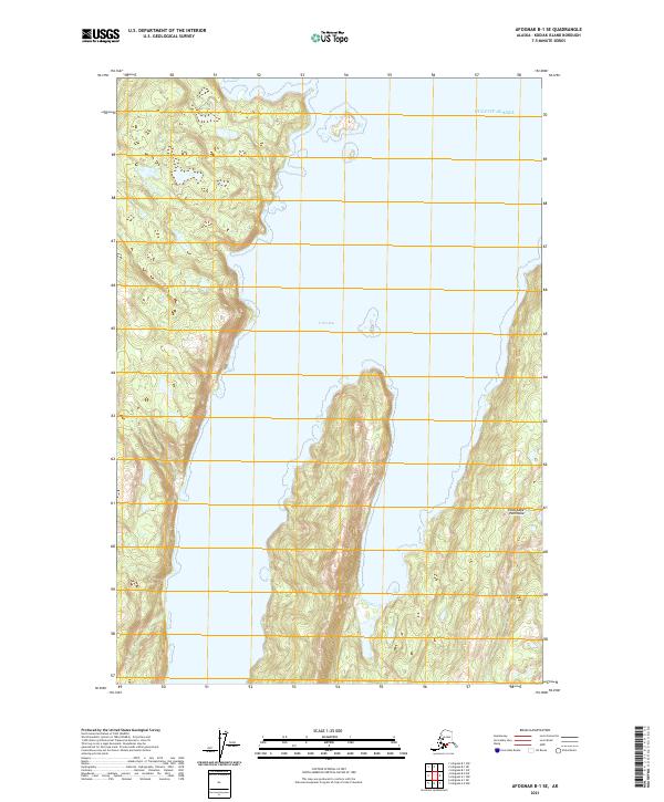
2021 Map of Afognak B-1 SE
USGS Topo · Published 2021About this map
Tonki Bay dominates this coastal landscape on Afognak Island, where the deep inlet carves into the terrain of the Tonki Cape Peninsula. The 2021 topography reveals the intricate relationship between the waters of the Gulf of Alaska and the jagged shoreline of the Kodiak Archipelago. While the interior is defined by sharp contour intervals indicating significant elevations, the coastline features a complex series of coves and points characteristic of this subarctic maritime environment. This modern survey maps a largely roadless wilderness, focusing on the natural hydrography and terrain of a region where the sea remains the primary corridor for movement and resource access.
Find a feature on this map
7 named features on this map. Tap any name to fly to it.
Don’t see what you’re looking for? This feature index may not catch every label — zoom into the map to look around manually.
Map Details
Editions of this 2021 Afognak B-1 SE Map
This is the sole edition of this map. No revisions or reprints were ever made.
Other maps of this area

1952 · Afognak
USGS Topo · 1:250,000

1952 · Afognak A-1
USGS Topo · 1:63,360

1952 · Afognak B-1
USGS Topo · 1:63,360
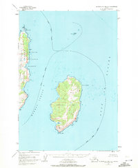
1952 · Afognak A-0 and B-0
USGS Topo · 1:63,360
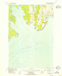
1953 · Afognak A-1
USGS Topo · 1:63,360
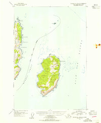
1953 · Afognak A-0 and B-0
USGS Topo · 1:63,360
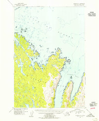
1954 · Afognak B-1
USGS Topo · 1:63,360
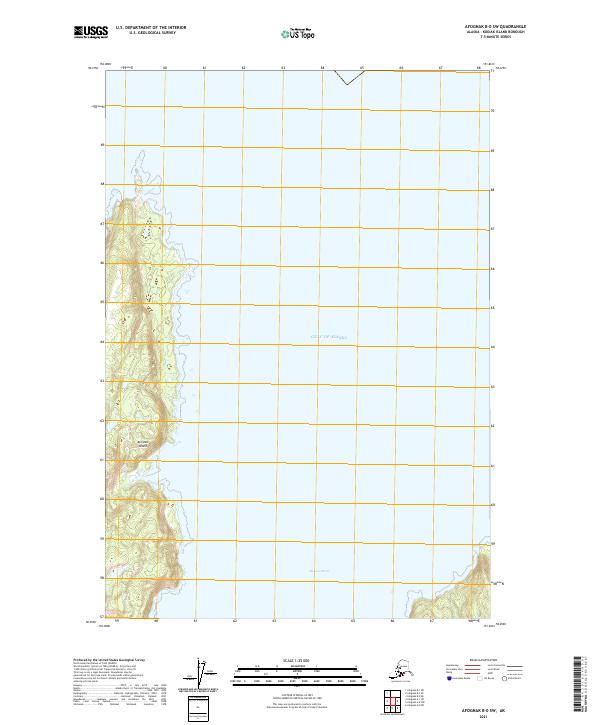
2021 · Afognak B-0 SW
USGS Topo · 1:25,000
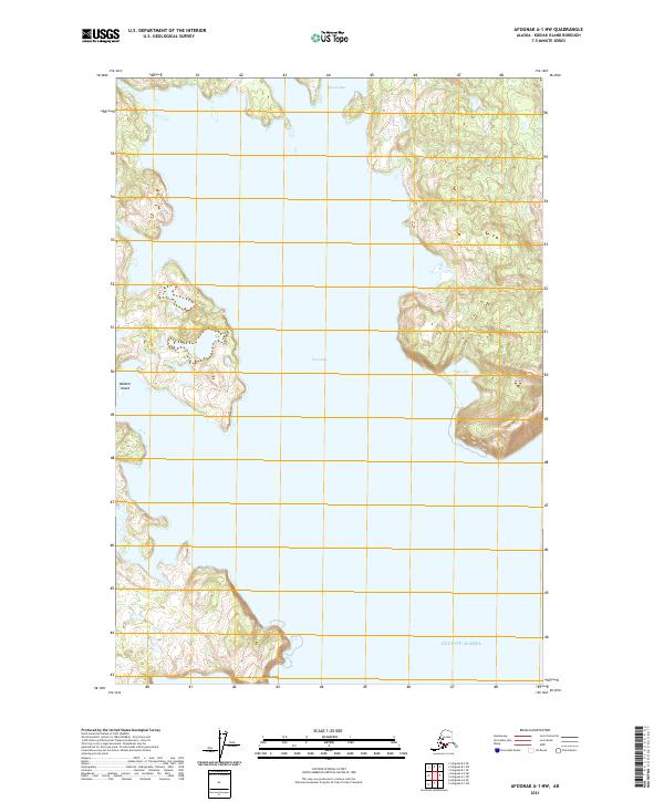
2021 · Afognak A-1 NW
USGS Topo · 1:25,000
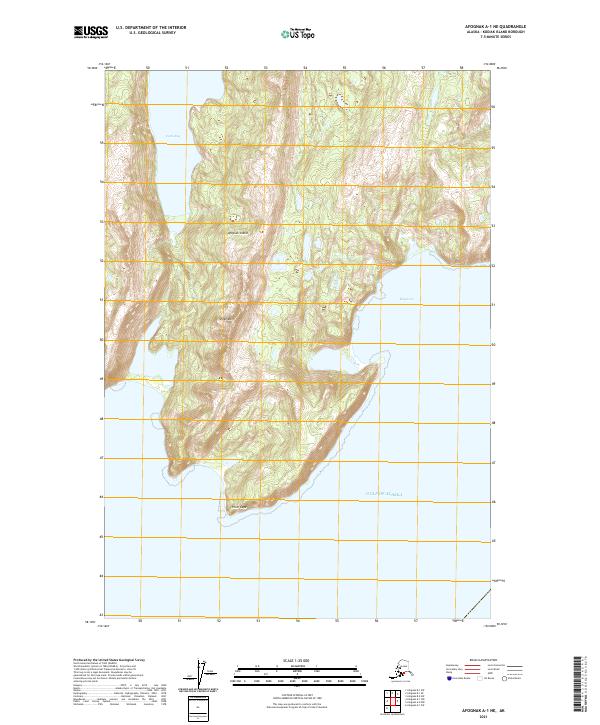
2021 · Afognak A-1 NE
USGS Topo · 1:25,000