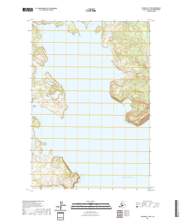
2021 Map of Afognak A-1 NW
USGS Topo · Published 2021About this map
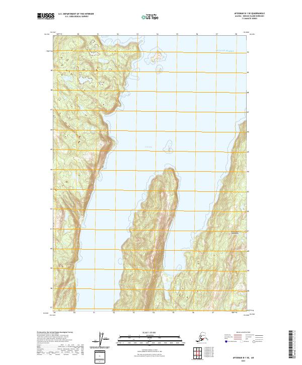
Izhut Bay dominates this coastal landscape, cutting deeply between the irregular shorelines of Kodiak Island. The terrain is defined by steep, unnamed coastal peaks and intricate inlets, including Saposa Bay at the northern edge. On the eastern side of the bay, Lake A B Schwartz sits tucked behind the shoreline, a rare named inland water body in this maritime environment. To the west, Midarm Island is positioned centrally within the larger bay system, while Peril Cape marks a prominent southern point where the land meets the open Gulf of Alaska. This 2021 survey illustrates the remote and undeveloped nature of the region, where natural topography and hydrography remain the primary features of the land, untouched by road networks or settlements.
Find a feature on this map
12 named features on this map. Tap any name to fly to it.
Don’t see what you’re looking for? This feature index may not catch every label — zoom into the map to look around manually.
Map Details
Editions of this 2021 Afognak A-1 NW Map
This is the sole edition of this map. No revisions or reprints were ever made.
Other maps of this area

1952 · Afognak
USGS Topo · 1:250,000

1952 · Afognak A-1
USGS Topo · 1:63,360

1952 · Afognak A-2
USGS Topo · 1:63,360

1952 · Afognak B-2
USGS Topo · 1:63,360

1952 · Afognak B-1
USGS Topo · 1:63,360
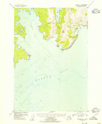
1953 · Afognak A-1
USGS Topo · 1:63,360

1954 · Afognak B-2
USGS Topo · 1:63,360
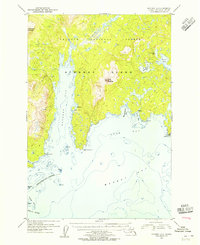
1954 · Afognak A-2
USGS Topo · 1:63,360
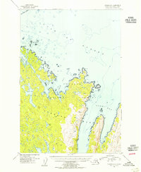
1954 · Afognak B-1
USGS Topo · 1:63,360
2021 · Afognak B-1 SE
USGS Topo · 1:25,000