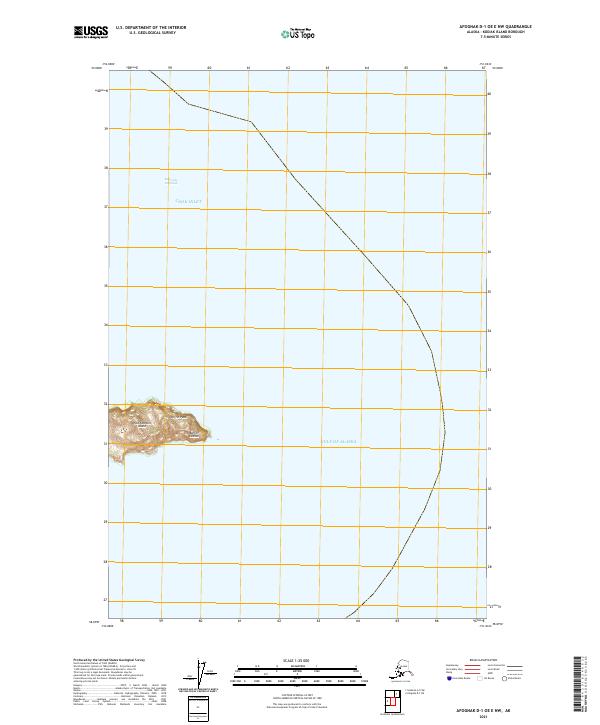
2021 Map of Afognak D-1 OE E NW
USGS Topo · Published 2021About this map
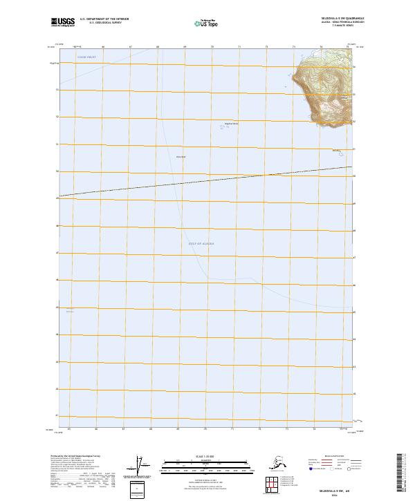
The Barren Islands emerge at the meeting point of maritime currents in the north Pacific, serving as a landmark for mariners transiting between the Gulf of Alaska and Cook Inlet. This 2021 survey centers on East Amatuli Island, the easternmost significant landmass in this chain, where the topography culminates at the high point of Puffin Peak. The surrounding waters are dominated by the Kennedy Entrance, a critical passage for vessel traffic entering the inlet from the open sea. The map illustrates the isolation of these islands, defined by steep contours and the absence of human settlements or infrastructure, emphasizing their role as a topographical waypoint rather than a place of habitation.
Find a feature on this map
8 named features on this map. Tap any name to fly to it.
Don’t see what you’re looking for? This feature index may not catch every label — zoom into the map to look around manually.
Map Details
Editions of this 2021 Afognak D-1 OE E NW Map
This is the sole edition of this map. No revisions or reprints were ever made.
Other maps of this area

1951 · Seldovia
USGS Topo · 1:250,000
1951 · Afognak D-1
USGS Topo · 1:63,360

1951 · Seldovia A-6
USGS Topo · 1:63,360

1952 · Afognak
USGS Topo · 1:250,000

1952 · Seldovia A-6
USGS Topo · 1:63,360

1953 · Seldovia A-5
USGS Topo · 1:63,360

1963 · Seldovia
USGS Topo · 1:250,000
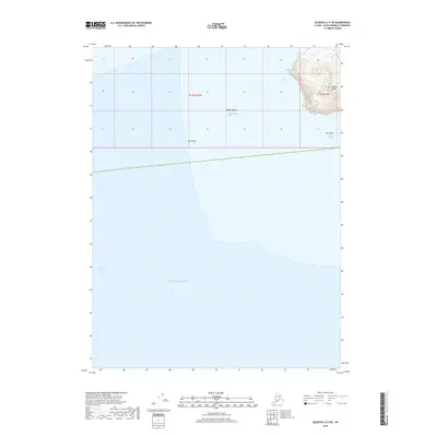
2018 · Seldovia A-5 SW
USGS Topo · 1:25,000
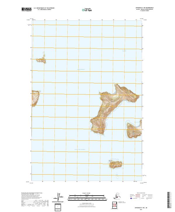
2021 · Afognak D-1 NE
USGS Topo · 1:25,000
2024 · Seldovia A-5 SW
USGS Topo · 1:25,000