
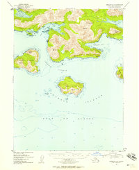
1953 Map of Seldovia A-5
USGS Topo · Published 1955About this map
Portlock sits along the sheltered waters of Port Chatham, serving as the primary hub for this coastal portion of the Kenai Peninsula in the early 1950s. The geography is defined by a series of prominent islands, including Elizabeth Island and Perl Island, which guard the entrance to the Chugach Passage. On the mainland, the industrial activity at Chrome near Chrome Bay is noted alongside several isolated cabins scattered along the northern shore.
Find a feature on this map
25 named features on this map. Tap any name to fly to it.
Don’t see what you’re looking for? This feature index may not catch every label — zoom into the map to look around manually.
Map Details
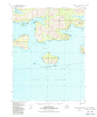
Editions of this 1953 Seldovia A-5 Map
3 editions found
Other maps of this area

1951 · Seldovia
USGS Topo · 1:250,000

1951 · Seldovia B-5
USGS Topo · 1:63,360

1951 · Seldovia B-4
USGS Topo · 1:63,360

1951 · Seldovia A-6
USGS Topo · 1:63,360

1951 · Seldovia A-4
USGS Topo · 1:63,360

1951 · Seldovia B-6
USGS Topo · 1:63,360

1952 · Afognak
USGS Topo · 1:250,000

1952 · Seldovia A-6
USGS Topo · 1:63,360

1953 · Seldovia B-6
USGS Topo · 1:63,360

1953 · Seldovia B-4
USGS Topo · 1:63,360