
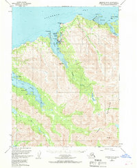
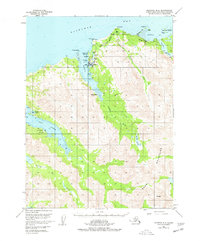
1951 Map of Seldovia B-5
USGS Topo · Published 1962About this map
Seldovia serves as the focal point of this coastal survey, situated between Seldovia Bay and the Seldovia Lagoon. The mapping reveals a remote maritime economy and settlement pattern defined by the dramatic shoreline of the Kenai Mountains. To the south, Indian Village sits along the narrow inlet, while Port Graham occupies the shores of its namesake port, Port Graham, tucked behind the protection of Isle Pt.
Find a feature on this map
31 named features on this map. Tap any name to fly to it.
Don’t see what you’re looking for? This feature index may not catch every label — zoom into the map to look around manually.
Map Details
Editions of this 1951 Seldovia B-5 Map
3 editions found
Other maps of this area

1946 · Seldovia C-5
USGS Topo · 1:63,360

1948 · Seldovia C-4
USGS Topo · 1:63,360

1949 · Seldovia C-4
USGS Topo · 1:62,500

1951 · Seldovia C-5
USGS Topo · 1:63,360

1951 · Seldovia
USGS Topo · 1:250,000

1951 · Seldovia B-4
USGS Topo · 1:63,360

1951 · Seldovia A-6
USGS Topo · 1:63,360

1951 · Seldovia A-4
USGS Topo · 1:63,360

1951 · Seldovia B-6
USGS Topo · 1:63,360

1952 · Seldovia A-6
USGS Topo · 1:63,360