
1953 Map of Seldovia B-6
USGS Topo · Published 1954About this map
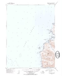
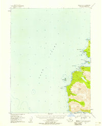
Cook Inlet defines the western expanse of this coastal study, where the rugged shoreline of the Kenai Peninsula meets the sea at the mouth of Port Graham. The settlement of Alexandrovsk sits on the southern shore of English Bay, a location marked by its deep maritime and colonial history. To the north, evidence of early industrial activity is visible at Coal Cove, which features a noted Coal Mine and the treacherous Dangerous Cape Reefs. The terrain rises sharply from the water towards the summit of Mt Bede, providing a clear picture of the landforms between English Bay Reef and the southern waters of Koyuktolik Bay. A solitary Cabin and distinct markers like Russian Pt and Magnet Rks indicate a landscape primarily navigated by water, where landmarks like the Flat Islands served as critical guides for vessels entering the passage.
Find a feature on this map
20 named features on this map. Tap any name to fly to it.
Don’t see what you’re looking for? This feature index may not catch every label — zoom into the map to look around manually.
Map Details
Editions of this 1953 Seldovia B-6 Map
3 editions found
Other maps of this area

1946 · Seldovia C-5
USGS Topo · 1:63,360

1951 · Seldovia C-5
USGS Topo · 1:63,360

1951 · Seldovia
USGS Topo · 1:250,000

1951 · Seldovia B-5
USGS Topo · 1:63,360

1951 · Seldovia A-6
USGS Topo · 1:63,360

1951 · Seldovia B-6
USGS Topo · 1:63,360

1952 · Seldovia A-6
USGS Topo · 1:63,360

1953 · Seldovia A-5
USGS Topo · 1:63,360

1953 · Seldovia B-5
USGS Topo · 1:63,360

1961 · Seldovia C-5
USGS Topo · 1:63,360