
1961 Map of Seldovia C-5
USGS Topo · Published 1962About this map
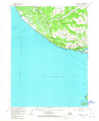
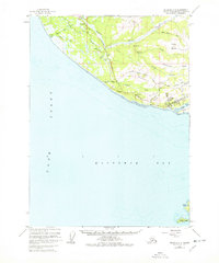
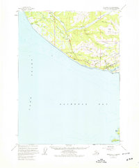
Homer and its surrounding coastal topography take center stage in this early 1960s survey of the Kenai Peninsula. The settlement pattern is concentrated along the terrace between Kachemak Bay and the higher ground of Diamond Ridge, where an emerging road network includes Skyline Drive and the Sterling Highway. The map captures a critical era of aviation and maritime infrastructure, noted by the Seaplane Base on Beluga Lake and the FAA Range Sta near the coast. Further inland, the landscape is defined by the winding Anchor River and its tributaries, such as Twitter Creek and Troublesome Creek. The presence of several Gravel Pits and a Mine suggests active resource extraction and road construction during this period of development. To the south, across the waters of Cook Inlet, the rocky outcroppings of Yukon Island and Hesketh Island mark the entrance to the bay.
Find a feature on this map
37 named features on this map. Tap any name to fly to it.
Don’t see what you’re looking for? This feature index may not catch every label — zoom into the map to look around manually.
Map Details
Editions of this 1961 Seldovia C-5 Map
4 editions found
Other maps of this area

1946 · Seldovia C-5
USGS Topo · 1:63,360

1946 · Seldovia D-5
USGS Topo · 1:63,360

1948 · Seldovia C-4
USGS Topo · 1:63,360

1949 · Seldovia C-4
USGS Topo · 1:62,500

1949 · Seldovia D-4
USGS Topo · 1:63,360

1951 · Seldovia C-5
USGS Topo · 1:63,360

1951 · Seldovia D-5
USGS Topo · 1:63,360

1951 · Seldovia D-4
USGS Topo · 1:63,360

1951 · Seldovia
USGS Topo · 1:250,000

1951 · Seldovia B-5
USGS Topo · 1:63,360