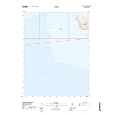
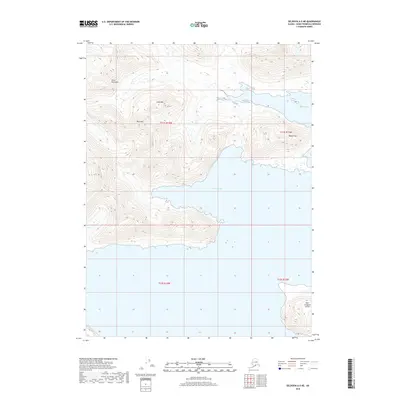
2018 Map of Seldovia A-5 SW
USGS Topo · Published 2018About this map
Chugach Islands rise from the coastal waters of the Pacific Ocean at the southwestern edge of the Kenai Peninsula. This 2018 survey documents a remote maritime environment where the Kennedy Entrance serves as a critical passage. The landscape is defined by its nautical hazards and rocky outcroppings, including the dangerous Dora Reef and the prominent Nagahut Rocks located offshore. In the eastern portion of the map, high-relief terrain on the island interiors is contrasted by the lone sentinel of Perl Rock to the south. This cartographic record provides essential detail for maritime historians and researchers focused on the coastal topography and navigational landmarks of this Alaskan wilderness region.
Find a feature on this map
8 named features on this map. Tap any name to fly to it.
Don’t see what you’re looking for? This feature index may not catch every label — zoom into the map to look around manually.
Map Details
Editions of this 2018 Seldovia A-5 SW Map
This is the sole edition of this map. No revisions or reprints were ever made.
Other maps of this area

1951 · Seldovia
USGS Topo · 1:250,000

1951 · Seldovia A-6
USGS Topo · 1:63,360

1952 · Afognak
USGS Topo · 1:250,000

1952 · Seldovia A-6
USGS Topo · 1:63,360

1953 · Seldovia A-5
USGS Topo · 1:63,360

1963 · Seldovia
USGS Topo · 1:250,000
2018 · Seldovia A-5 NW
USGS Topo · 1:25,000
2018 · Seldovia A-6 NE
USGS Topo · 1:25,000
2018 · Seldovia A-5 SE
USGS Topo · 1:25,000
2018 · Seldovia A-5 NE
USGS Topo · 1:25,000