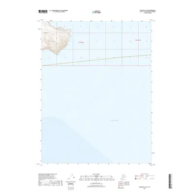
2018 Map of Seldovia A-5 SE
USGS Topo · Published 2018About this map
Perl Island rises from the northern reaches of the Pacific Ocean in this high-resolution topographic study of the Seldovia region. The island's northern tip is the primary landmass documented, defined by steep contour intervals that reach elevations over 1,300 feet. This maritime landscape is part of the broader Kenai Peninsula Borough, though the map focus is almost entirely on the open waters and the dramatic relief of the island. The grid lines of t12s r14w and t12s r13w mark the administrative boundaries across the sea, illustrating the systematic parceling of even the most remote Alaskan coastal reaches. The isolation of the terrain is evident, with no roads or named structures present, leaving only the natural topography of the island and the surrounding sea to define the area.
Find a feature on this map
4 named features on this map. Tap any name to fly to it.
Don’t see what you’re looking for? This feature index may not catch every label — zoom into the map to look around manually.
Map Details
Editions of this 2018 Seldovia A-5 SE Map
This is the sole edition of this map. No revisions or reprints were ever made.
Other maps of this area

1951 · Seldovia
USGS Topo · 1:250,000

1951 · Seldovia A-4
USGS Topo · 1:63,360

1952 · Afognak
USGS Topo · 1:250,000

1953 · Seldovia A-5
USGS Topo · 1:63,360
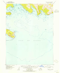
1953 · Seldovia A-4
USGS Topo · 1:63,360

1963 · Seldovia
USGS Topo · 1:250,000
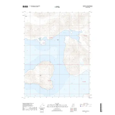
2018 · Seldovia A-5 NW
USGS Topo · 1:25,000
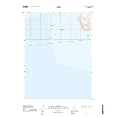
2018 · Seldovia A-5 SW
USGS Topo · 1:25,000
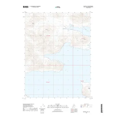
2018 · Seldovia A-5 NE
USGS Topo · 1:25,000
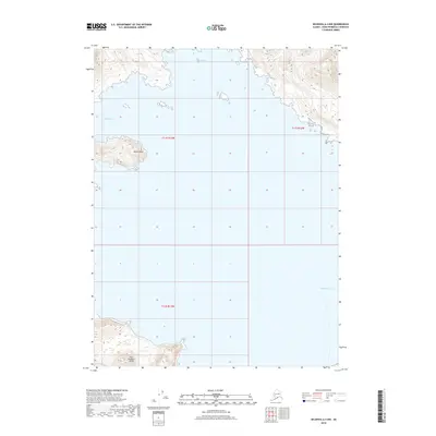
2018 · Seldovia A-4 NW
USGS Topo · 1:25,000