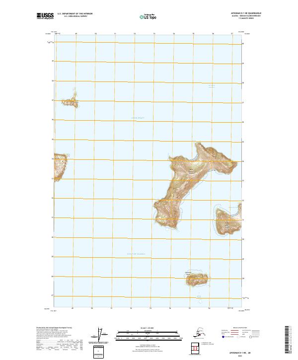
2021 Map of Afognak D-1 NE
USGS Topo · Published 2021About this map
West Amatuli Island and East Amatuli Island dominate the seascape of this maritime frontier where the Cook Inlet meets the Gulf of Alaska. The terrain is characterized by steep island topography, with Table Mtn rising sharply above the shoreline. This 2021 survey by the U.S. Geological Survey provides a clear view of the Barren Islands group, including the isolated Sugarloaf Island to the south and Nord Island to the northwest. The waters of the Kennedy Entrance separate these landmasses, while Amatuli Cove provides a rare point of sheltered water along the rocky coast of the larger islands. The map reflects a landscape defined by extreme relief and maritime isolation, largely unchanged by modern development and focused on the transition between protected inlets and the open sea.
Find a feature on this map
13 named features on this map. Tap any name to fly to it.
Don’t see what you’re looking for? This feature index may not catch every label — zoom into the map to look around manually.
Map Details
Editions of this 2021 Afognak D-1 NE Map
This is the sole edition of this map. No revisions or reprints were ever made.
Other maps of this area

1951 · Seldovia
USGS Topo · 1:250,000
1951 · Afognak D-1
USGS Topo · 1:63,360

1951 · Seldovia A-6
USGS Topo · 1:63,360

1952 · Afognak
USGS Topo · 1:250,000

1952 · Seldovia A-6
USGS Topo · 1:63,360

1963 · Seldovia
USGS Topo · 1:250,000
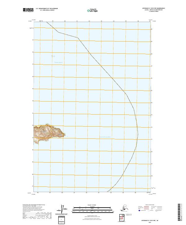
2021 · Afognak D-1 OE E NW
USGS Topo · 1:25,000
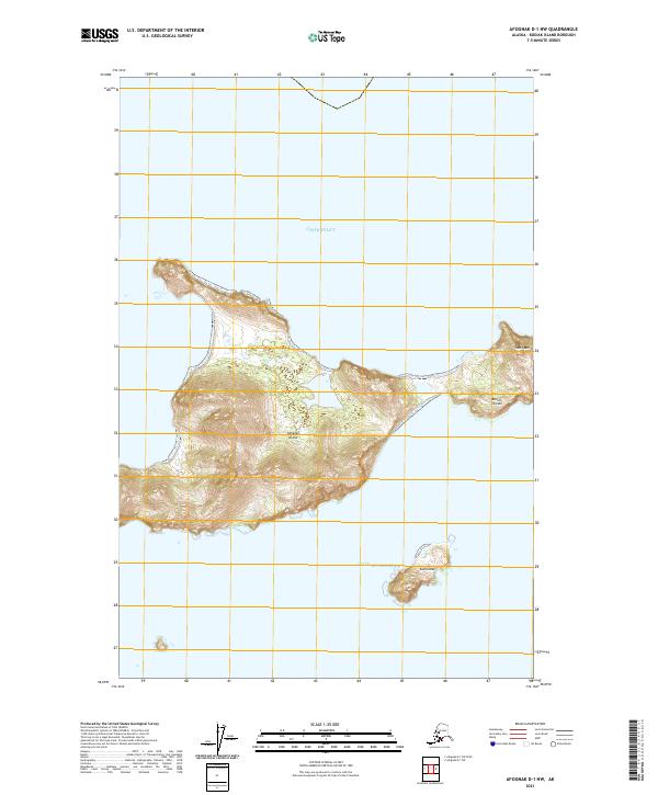
2021 · Afognak D-1 NW
USGS Topo · 1:25,000