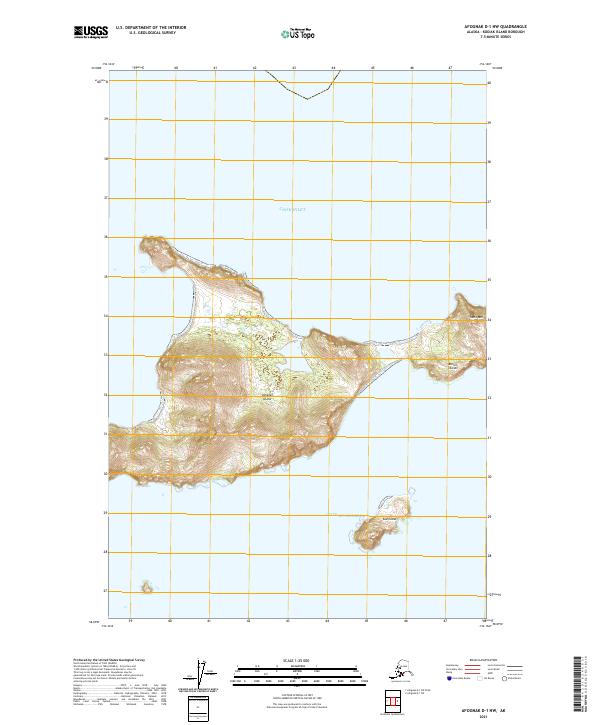
2021 Map of Afognak D-1 NW
USGS Topo · Published 2021About this map
Ushagat Island and Sud Island dominate this coastal survey, representing the isolated southern reaches of the Barren Islands. Located at the strategic meeting point of Cook Inlet and the Gulf of Alaska, these landmasses feature dramatic elevation changes, most notably at Table Mtn on the eastern edge of the group. The landscape is defined by steep topographic contours rising directly from the sea, indicating a coastline shaped by high-energy maritime conditions. The map provides a detailed view of the natural harbors and rocky shorelines that characterize this remote archipelago, which remains largely untouched by infrastructure or permanent settlement, serving as a significant landmark for Pacific navigation and regional natural history.
Find a feature on this map
10 named features on this map. Tap any name to fly to it.
Don’t see what you’re looking for? This feature index may not catch every label — zoom into the map to look around manually.
Map Details
Editions of this 2021 Afognak D-1 NW Map
This is the sole edition of this map. No revisions or reprints were ever made.
Other maps of this area

1951 · Seldovia
USGS Topo · 1:250,000
1951 · Afognak D-1
USGS Topo · 1:63,360

1951 · Seldovia A-6
USGS Topo · 1:63,360

1952 · Afognak
USGS Topo · 1:250,000

1952 · Seldovia A-6
USGS Topo · 1:63,360

1963 · Seldovia
USGS Topo · 1:250,000
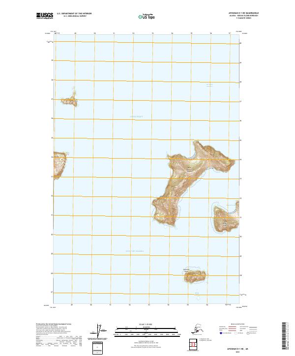
2021 · Afognak D-1 NE
USGS Topo · 1:25,000
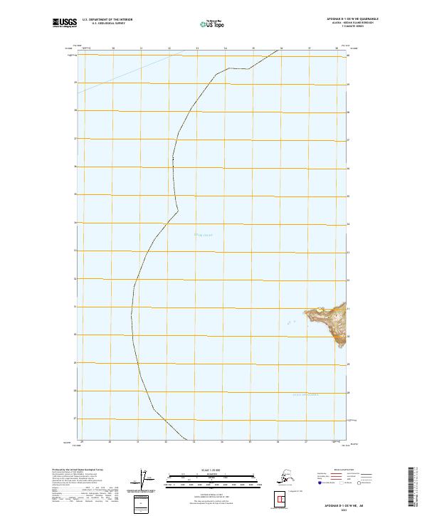
2021 · Afognak D-1 OE W NE
USGS Topo · 1:25,000