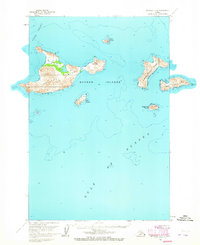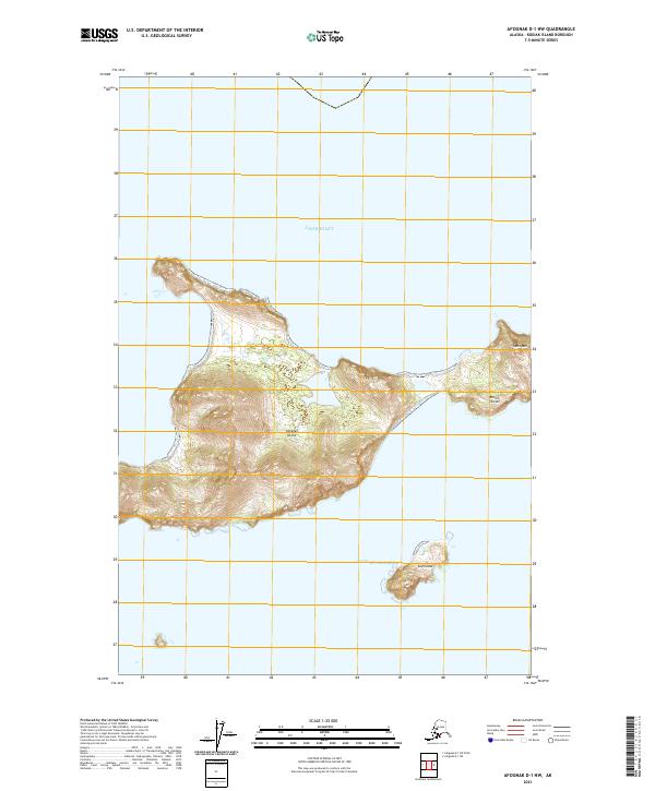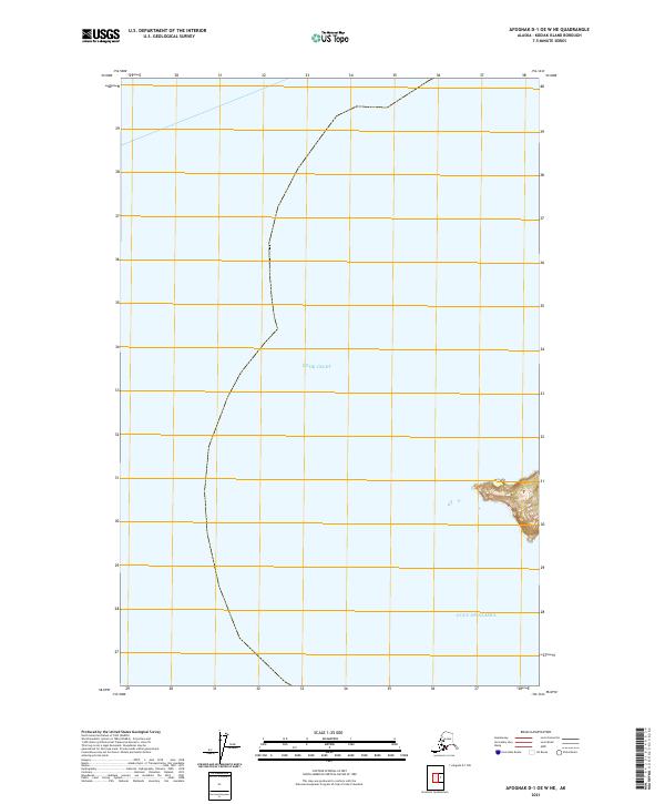
2021 Map of Afognak D-1 OE W NE
USGS Topo · Published 2021About this map
Cook Inlet and the Gulf of Alaska meet at this maritime boundary on the northern reaches of Kodiak Island. This 2021 topographic survey focuses on the coastal interface where the waters of the inlet merge into the open gulf, capturing the shoreline's edge across several townships including t14s r19w and t15s r19w. The map is primarily an aquatic study, illustrating the vast expanse of the northern Pacific and the surveying lines that define the maritime districts of the Kodiak Island Borough. While the terrain is largely submerged, the map provides precise bathymetric and topographic data for the few landmasses and coastal fringes that appear at this high latitude.
Find a feature on this map
6 named features on this map. Tap any name to fly to it.
Don’t see what you’re looking for? This feature index may not catch every label — zoom into the map to look around manually.
Map Details
Editions of this 2021 Afognak D-1 OE W NE Map
This is the sole edition of this map. No revisions or reprints were ever made.