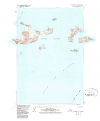
1951 Map of Afognak D-1
USGS Topo · Published 1987About this map
The Barren Islands rise from the meeting point of Cook Inlet and the Gulf of Alaska, marking a remote and treacherous maritime environment. Dominated by the large landmass of Ushagat Island, the archipelago features dramatic topography such as Table Mountain and Puffin Peak. This mid-century survey captures the islands as part of the Alaska Maritime National Wildlife Refuge, emphasizing their role as a sanctuary rather than a site of permanent settlement. Small pockets of human history are nonetheless recorded, including the Amatuli Lighthouse on the eastern edge and unnamed Ruins on Sud Island. The map provides a detailed view of the surrounding waters, from the shelter of Amatuli Cove to the outlying Nord Island and Sugarloaf Island, situated within the Kodiak Island Borough.
Find a feature on this map
16 named features on this map. Tap any name to fly to it.
Don’t see what you’re looking for? This feature index may not catch every label — zoom into the map to look around manually.
Map Details
Editions of this 1951 Afognak D-1 Map
2 editions found
Other maps of this area

1951 · Seldovia
USGS Topo · 1:250,000
1951 · Afognak D-1
USGS Topo · 1:63,360

1951 · Seldovia A-6
USGS Topo · 1:63,360

1952 · Afognak
USGS Topo · 1:250,000

1952 · Seldovia A-6
USGS Topo · 1:63,360

1952 · Afognak C-1 and C-2
USGS Topo · 1:63,360
1954 · Afognak C-1 and C-2
USGS Topo · 1:63,360

1963 · Seldovia
USGS Topo · 1:250,000
2021 · Afognak C-2 NE
USGS Topo · 1:25,000
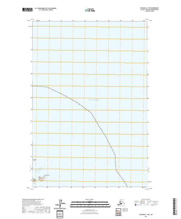
2021 · Afognak C-1 NW
USGS Topo · 1:25,000