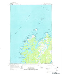
1952 Map of Afognak C-2 and C-3
USGS Topo · Published 1981About this map
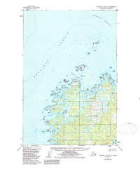
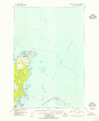
Shuyak Island dominates this 1952 topographic study, showing a complex coastline of deep-water inlets and protective harbors on the northern edge of the Kodiak Archipelago. The map captures the intricate geography of the northern reaches of Shelikof Strait and Stevenson Entrance, where maritime safety relied on prominent landmarks like Latax Rocks and Dark Island. The interior is defined by a network of waterways including Carry Inlet and Skiff Passage, which segment the landmass into a labyrinth of points and bays. At Big Fort and along the shores of Shuyak Hbr, the map records the natural anchorages and coastal features essential for navigation in these waters. This survey reflects the mid-century wilderness before modern development, detailing a landscape where every cape, such as Party Cape and Eagle Cape, served as a vital waypoint.
Find a feature on this map
25 named features on this map. Tap any name to fly to it.
Don’t see what you’re looking for? This feature index may not catch every label — zoom into the map to look around manually.
Map Details
Editions of this 1952 Afognak C-2 and C-3 Map
3 editions found
Other maps of this area

1952 · Afognak
USGS Topo · 1:250,000

1952 · Afognak C-1 and C-2
USGS Topo · 1:63,360
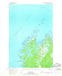
1952 · Afognak C-2 and C-3
USGS Topo · 1:63,360

1952 · Afognak B-2
USGS Topo · 1:63,360

1954 · Afognak B-3
USGS Topo · 1:63,360
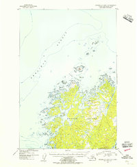
1954 · Afognak C-2 and C-3
USGS Topo · 1:63,360

1954 · Afognak B-2
USGS Topo · 1:63,360
1954 · Afognak C-1 and C-2
USGS Topo · 1:63,360
2021 · Afognak B-2 NE
USGS Topo · 1:25,000
2021 · Afognak B-3 NE
USGS Topo · 1:25,000