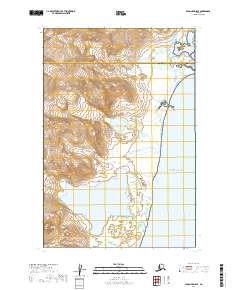
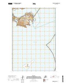
2019 Map of Afognak D-5 SE
USGS Topo · Published 2019About this map
Katmai National Park encompasses a significant portion of this coastal landscape, where the high ridges of the Alaska Peninsula meet the Pacific Ocean. This modern topographic study reveals the dramatic transition from ice-carved peaks to the saltwater shoreline, most notably marked by the Spotted Glacier as it descends toward the sea. The map also delineates the political boundary between the Kenai Peninsula Borough and the Kodiak Island Borough, illustrating how these administrative lines intersect this largely undeveloped wilderness. The lack of roads or settlements emphasizes the remote character of the region, where the primary features are defined by glacial action and the proximity of the open ocean.
Find a feature on this map
7 named features on this map. Tap any name to fly to it.
Don’t see what you’re looking for? This feature index may not catch every label — zoom into the map to look around manually.
Map Details
Editions of this 2019 Afognak D-5 SE Map
This is the sole edition of this map. No revisions or reprints were ever made.
Other maps of this area
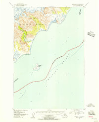
1951 · Afognak C-5
USGS Topo · 1:63,360
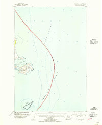
1951 · Afognak D-4
USGS Topo · 1:63,360

1951 · Afognak D-5
USGS Topo · 1:63,360

1952 · Afognak
USGS Topo · 1:250,000
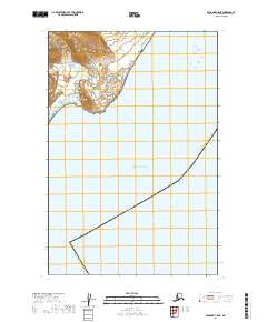
2019 · Afognak C-5 NE
USGS Topo · 1:25,000
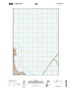
2019 · Afognak D-4 NW
USGS Topo · 1:25,000
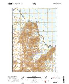
2019 · Afognak D-5 NE
USGS Topo · 1:25,000
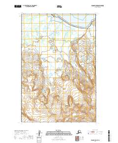
2019 · Afognak D-5 NW
USGS Topo · 1:25,000
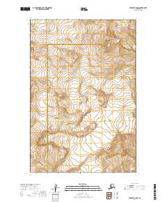
2019 · Afognak D-5 SW
USGS Topo · 1:25,000
2019 · Afognak D-4 SW
USGS Topo · 1:25,000