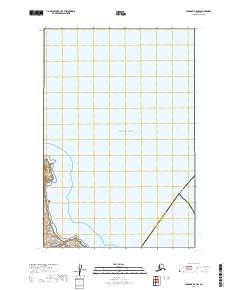
2019 Map of Afognak D-4 NW
USGS Topo · Published 2019About this map
Katmai National Park occupies the southwestern corner of this coastal maritime landscape, where the rugged Alaskan mainland meets the northern reaches of the Pacific Ocean. This 2019 survey documents a sparsely inhabited interface of land and sea, defined by the administrative boundary of the Kenai Peninsula Borough and Kodiak Island Borough. The western coastline shows the intricate topographic detail of the shore before it transitions into the open waters of Cook Inlet. This map serves as a modern record of the shoreline and jurisdictional boundaries in a region where the wilderness of the national park system meets the maritime thoroughfares of southern Alaska. The absence of roads or settlements emphasizes the remote, protected character of the terrain within the park's vicinity.
Find a feature on this map
37 named features on this map. Tap any name to fly to it.
Don’t see what you’re looking for? This feature index may not catch every label — zoom into the map to look around manually.
Map Details
Editions of this 2019 Afognak D-4 NW Map
This is the sole edition of this map. No revisions or reprints were ever made.
Other maps of this area
1951 · Afognak D-4
USGS Topo · 1:63,360

1951 · Afognak D-5
USGS Topo · 1:63,360

1952 · Iliamna
USGS Topo · 1:250,000

1952 · Afognak
USGS Topo · 1:250,000

1957 · Iliamna
USGS Topo · 1:250,000
2018 · Iliamna A-1 SW
USGS Topo · 1:25,000
2019 · Afognak D-5 NE
USGS Topo · 1:25,000
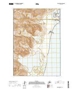
2019 · Afognak D-5 SE
USGS Topo · 1:25,000
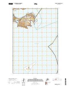
2019 · Afognak D-4 SW
USGS Topo · 1:25,000