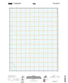
2018 Map of Iliamna A-1 SW
USGS Topo · Published 2018About this map
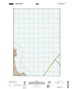
The vast expanse of the Pacific Ocean dominates this maritime survey within the Kenai Peninsula Borough. Situated on the western edge of Cook Inlet, the map reveals a coastline nearly devoid of inland infrastructure, focusing instead on the open water and the administrative boundaries of t13s r25w. This 2018 record serves as a clean baseline of the region's hydrography and shoreline, noting the precise divisions of the Public Land Survey System including sections 1, 12, and 13. For researchers of Alaskan geography, the sheet provides an unobstructed look at the sea-lane approach to the western peninsula coast.
Find a feature on this map
8 named features on this map. Tap any name to fly to it.
Don’t see what you’re looking for? This feature index may not catch every label — zoom into the map to look around manually.
Map Details
Editions of this 2018 Iliamna A-1 SW Map
This is the sole edition of this map. No revisions or reprints were ever made.
Other maps of this area
1951 · Afognak D-4
USGS Topo · 1:63,360

1951 · Iliamna A-1 and A-2
USGS Topo · 1:63,360

1951 · Afognak D-5
USGS Topo · 1:63,360

1952 · Iliamna
USGS Topo · 1:250,000

1952 · Afognak
USGS Topo · 1:250,000

1957 · Iliamna
USGS Topo · 1:250,000
2018 · Iliamna A-1 NW
USGS Topo · 1:25,000
2018 · Iliamna A-2 SE
USGS Topo · 1:25,000
2019 · Afognak D-4 NW
USGS Topo · 1:25,000
2019 · Afognak D-5 NE
USGS Topo · 1:25,000