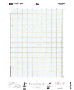
2018 Map of Iliamna A-1 NW
USGS Topo · Published 2018About this map
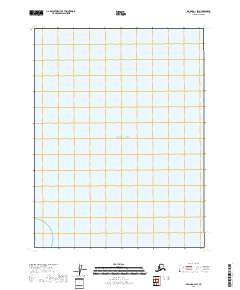
Augustine Rocks rise from the waters of the western Pacific Ocean in this 2018 survey of a remote coastal section of the Cook Inlet. The map depicts an area largely defined by its maritime geography within the Kenai Peninsula Borough, focusing on the open water and the subtle hazards of the coastline. The presence of the t11s r24w township and range boundary provides a formal land survey framework for this stretch of Alaskan wilderness, even where no terrestrial roads or settlements are present. This sheet is primarily a study of the shoreline and the immediate offshore environment, capturing the intersection of the mainland waters and the open sea.
Find a feature on this map
4 named features on this map. Tap any name to fly to it.
Don’t see what you’re looking for? This feature index may not catch every label — zoom into the map to look around manually.
Map Details
Editions of this 2018 Iliamna A-1 NW Map
This is the sole edition of this map. No revisions or reprints were ever made.
Other maps of this area

1951 · Iliamna A-1 and A-2
USGS Topo · 1:63,360

1952 · Iliamna
USGS Topo · 1:250,000

1957 · Iliamna
USGS Topo · 1:250,000

1958 · Iliamna B-2
USGS Topo · 1:63,360
2018 · Iliamna B-2 OE E SW
USGS Topo · 1:25,000
2018 · Iliamna A-2 SE
USGS Topo · 1:25,000
2018 · Iliamna B-2 SE
USGS Topo · 1:25,000
2018 · Iliamna A-1 SW
USGS Topo · 1:25,000