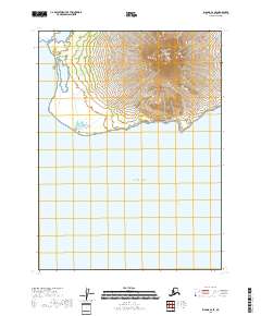
2018 Map of Iliamna B-2 SE
USGS Topo · Published 2018About this map
Augustine Island dominates this 2018 topographic survey, showcasing the dramatic cone of Augustine Volcano in the Kenai Peninsula Borough. The map detail highlights the steep, concentric contour lines of the active stratovolcano as it rises directly out of the Pacific Ocean. This isolated maritime landscape is primarily defined by the volcanic landform itself, with the surrounding waters and shoreline of Cook Inlet providing the only other significant geographical features. For researchers of geology or maritime history, this sheet captures the uninhabited state of the island in the late 2010s, showing the specific terrain morphology of one of Alaska’s most prominent island peaks without the distraction of human settlements or infrastructure.
Find a feature on this map
8 named features on this map. Tap any name to fly to it.
Don’t see what you’re looking for? This feature index may not catch every label — zoom into the map to look around manually.
Map Details
Editions of this 2018 Iliamna B-2 SE Map
This is the sole edition of this map. No revisions or reprints were ever made.
Other maps of this area

1951 · Iliamna A-1 and A-2
USGS Topo · 1:63,360

1952 · Iliamna
USGS Topo · 1:250,000

1957 · Iliamna
USGS Topo · 1:250,000

1958 · Iliamna B-2
USGS Topo · 1:63,360
2018 · Iliamna B-2 OE E SW
USGS Topo · 1:25,000
2018 · Iliamna A-1 NW
USGS Topo · 1:25,000
2018 · Iliamna B-2 NW
USGS Topo · 1:25,000
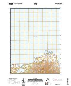
2018 · Iliamna B-2 NE
USGS Topo · 1:25,000
2018 · Iliamna B-2 SW
USGS Topo · 1:25,000
2018 · Iliamna B-2 OE E NW
USGS Topo · 1:25,000