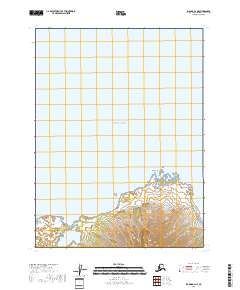
2018 Map of Iliamna B-2 NE
USGS Topo · Published 2018About this map
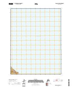
Cook Inlet and the waters of the Pacific Ocean dominate this coastal survey of the Kenai Peninsula. The shoreline is defined by the prominent landmark of Burr Point, where the land meets the tidal reach of the inlet. This mapping by the U.S. Geological Survey details the rugged coastal contours and the transitional maritime environment. The terrain is strictly divided by township and range lines, specifically t9s r25w and t9s r24w, which provide the legal framework for this uninhabited stretch of the Alaskan coast. While the map is sparse in human infrastructure, it captures the exact topographic character of the shoreline as it existed in the early 21st century.
Find a feature on this map
5 named features on this map. Tap any name to fly to it.
Don’t see what you’re looking for? This feature index may not catch every label — zoom into the map to look around manually.
Map Details
Editions of this 2018 Iliamna B-2 NE Map
This is the sole edition of this map. No revisions or reprints were ever made.
Other maps of this area

1949 · Iliamna C-1
USGS Topo · 1:63,360

1952 · Iliamna
USGS Topo · 1:250,000

1957 · Iliamna
USGS Topo · 1:250,000

1958 · Iliamna C-2
USGS Topo · 1:63,360

1958 · Iliamna B-2
USGS Topo · 1:63,360

1958 · Iliamna C-1
USGS Topo · 1:63,360
2018 · Iliamna B-2 OE E SW
USGS Topo · 1:25,000
2018 · Iliamna B-2 NW
USGS Topo · 1:25,000
2018 · Iliamna B-2 SW
USGS Topo · 1:25,000
2018 · Iliamna B-2 OE E NW
USGS Topo · 1:25,000