
1958 Map of Iliamna C-2
USGS Topo · Published 1961About this map
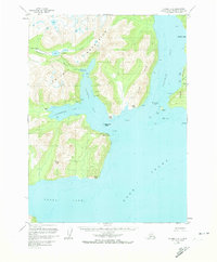
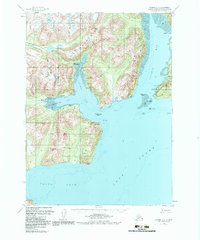
Williamsport serves as a key coastal anchor on this western shore of Cook Inlet, where the maritime environment meets the high peaks of the Back Range. The map documents a mid-century landscape of remote outposts and natural harbors, notably featuring the now-defunct settlement at Dutton (Aband). Surveyed in the late 1950s, the terrain reveals a complex network of coastal features including Iliamna Bay and Cottonwood Bay, which are separated from Iniskin Bay by the prominent Iniskin Peninsula. Inland, the drainage of Chinkelyes Creek and the high elevation Summit Lakes illustrate the transition from the shore to the interior. Aviation and maritime markers, such as the Landing Strip and various reefs and shoals like Turtle Reef and Iniskin Shoal, underscore the reliance on sea and air travel for navigating this portion of the Kenai Peninsula.
Find a feature on this map
35 named features on this map. Tap any name to fly to it.
Don’t see what you’re looking for? This feature index may not catch every label — zoom into the map to look around manually.
Map Details
Editions of this 1958 Iliamna C-2 Map
3 editions found
Other maps of this area

1949 · Iliamna C-1
USGS Topo · 1:63,360

1952 · Iliamna
USGS Topo · 1:250,000

1954 · Iliamna D-3
USGS Topo · 1:63,360

1954 · Iliamna C-3
USGS Topo · 1:63,360

1954 · Iliamna B-3
USGS Topo · 1:63,360

1957 · Iliamna
USGS Topo · 1:250,000

1958 · Iliamna D-2
USGS Topo · 1:63,360

1958 · Iliamna D-1
USGS Topo · 1:63,360

1958 · Iliamna B-2
USGS Topo · 1:63,360

1958 · Iliamna C-1
USGS Topo · 1:63,360