
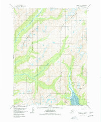
1958 Map of Iliamna D-2
USGS Topo · Published 1961About this map
Chigmit Mountains dominate this 1958 survey, where the drainages of several major water systems converge toward the Cook Inlet coast. The map illustrates a complex glaciated landscape, specifically highlighting Roscoe Glacier and the sharp elevation of Roscoe Peak and Sugarloaf Mountain. This era of mapping was based on 1957 aerial photography and reveals a territory defined by its watercourses, including the Pile River and the Iliamna River. The southern portion of the sheet focuses on the tidal environment of Iniskin Bay, where the Iniskin River empties into extensive Mud flats. The presence of Three Sisters Mountain further emphasizes the verticality of this coastal range. This map is a significant record of the region's hydrography before later changes in glacial extent and coastal morphology.
Find a feature on this map
11 named features on this map. Tap any name to fly to it.
Don’t see what you’re looking for? This feature index may not catch every label — zoom into the map to look around manually.
Map Details
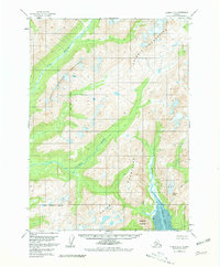
Editions of this 1958 Iliamna D-2 Map
3 editions found
Other maps of this area

1946 · Lake Clark
USGS Topo · 1:250,000

1949 · Iliamna C-1
USGS Topo · 1:63,360

1951 · Lake Clark
USGS Topo · 1:250,000

1952 · Iliamna
USGS Topo · 1:250,000

1954 · Lake Clark A-3
USGS Topo · 1:63,360

1954 · Iliamna D-3
USGS Topo · 1:63,360

1954 · Iliamna C-3
USGS Topo · 1:63,360

1957 · Iliamna
USGS Topo · 1:250,000

1958 · Iliamna C-2
USGS Topo · 1:63,360

1958 · Iliamna D-1
USGS Topo · 1:63,360