
1958 Map of Iliamna B-2
USGS Topo · Published 1961About this map
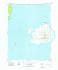
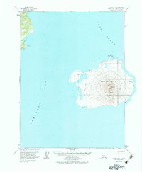
Augustine Island dominates this mid-century survey, centered on the prominent Augustine Volcano. The map details the island's coastline and the surrounding waters of Cook Inlet and Kamishak Bay just before the 1960s. Topographic relief shows the dramatic elevation of the peak, while surveying markers such as VABM 731 Kamishak and VABM 529 Burr provide exact vertical control points.
Find a feature on this map
15 named features on this map. Tap any name to fly to it.
Don’t see what you’re looking for? This feature index may not catch every label — zoom into the map to look around manually.
Map Details
Editions of this 1958 Iliamna B-2 Map
3 editions found
Other maps of this area

1949 · Iliamna C-1
USGS Topo · 1:63,360

1951 · Iliamna A-3
USGS Topo · 1:63,360

1951 · Iliamna A-1 and A-2
USGS Topo · 1:63,360

1952 · Iliamna
USGS Topo · 1:250,000

1954 · Iliamna C-3
USGS Topo · 1:63,360

1954 · Iliamna B-3
USGS Topo · 1:63,360

1957 · Iliamna
USGS Topo · 1:250,000

1958 · Iliamna C-2
USGS Topo · 1:63,360

1958 · Iliamna C-1
USGS Topo · 1:63,360
2018 · Iliamna B-2 OE E SW
USGS Topo · 1:25,000