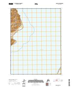
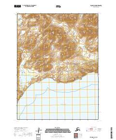
2018 Map of Iliamna B-2 NW
USGS Topo · Published 2018About this map
The Aleutian Range dominates the western shoreline of this Kenai Peninsula coastal region, where steep topography meets the Pacific Ocean. This survey captures a wild stretch of the Alaskan coast defined by prominent maritime landmarks such as Tignagvik Point and the sheltered waters of Rocky Cove. Unlike many interior maps, the focus here is on the interface between mountain and sea, showing how the land breaks sharply toward the water. The map provides precise Public Land Survey System data for the surrounding townships, including t8s r26w and t9s r27w, offering a clear view of how these remote sections are organized against the natural coastline.
Find a feature on this map
8 named features on this map. Tap any name to fly to it.
Don’t see what you’re looking for? This feature index may not catch every label — zoom into the map to look around manually.
Map Details
Editions of this 2018 Iliamna B-2 NW Map
This is the sole edition of this map. No revisions or reprints were ever made.
Other maps of this area

1952 · Iliamna
USGS Topo · 1:250,000

1954 · Iliamna C-3
USGS Topo · 1:63,360

1954 · Iliamna B-3
USGS Topo · 1:63,360

1957 · Iliamna
USGS Topo · 1:250,000

1958 · Iliamna C-2
USGS Topo · 1:63,360

1958 · Iliamna B-2
USGS Topo · 1:63,360
2018 · Iliamna B-2 NE
USGS Topo · 1:25,000
2018 · Iliamna C-3 SE
USGS Topo · 1:25,000
2018 · Iliamna B-2 SW
USGS Topo · 1:25,000
2018 · Iliamna B-3 NE
USGS Topo · 1:25,000