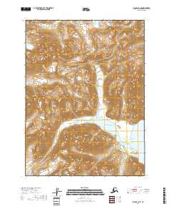
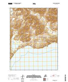
2018 Map of Iliamna C-3 SE
USGS Topo · Published 2018About this map
Pacific Ocean waters meet the steep shoreline of the Chigmit Mountains in this coastal Alaskan study. The terrain is dominated by high-elevation ridges and deep valleys, characterized by prominent landmarks like The Cone, which rises sharply near the coast. Along the eastern edge of the sheet, the sheltered waters of Ursus Cove provide a break in the exposed coastline. The map illustrates a landscape shaped by glacial activity and marine influence, documented through precise contour intervals that trace the transition from sea level to the high peaks of the Kenai Peninsula. This uninhabited stretch of coast reflects the wilderness character of the region, where the primary features are defined by geology and the tides of the north Pacific.
Find a feature on this map
10 named features on this map. Tap any name to fly to it.
Don’t see what you’re looking for? This feature index may not catch every label — zoom into the map to look around manually.
Map Details
Editions of this 2018 Iliamna C-3 SE Map
This is the sole edition of this map. No revisions or reprints were ever made.
Other maps of this area

1952 · Iliamna
USGS Topo · 1:250,000

1954 · Iliamna C-3
USGS Topo · 1:63,360

1954 · Iliamna B-3
USGS Topo · 1:63,360

1957 · Iliamna
USGS Topo · 1:250,000

1958 · Iliamna C-2
USGS Topo · 1:63,360

1958 · Iliamna B-2
USGS Topo · 1:63,360
2018 · Iliamna B-2 NW
USGS Topo · 1:25,000
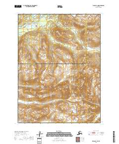
2018 · Iliamna C-3 NE
USGS Topo · 1:25,000
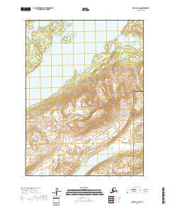
2018 · Iliamna C-3 NW
USGS Topo · 1:25,000
2018 · Iliamna B-3 NE
USGS Topo · 1:25,000