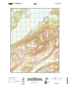
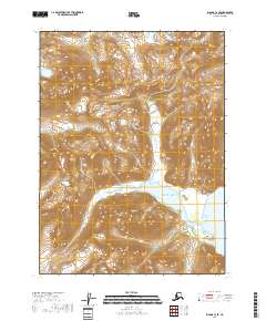
2018 Map of Iliamna C-3 NW
USGS Topo · Published 2018About this map
Iliamna Lake dominates the western portion of this 2018 survey, where its expansive waters meet the rising terrain of the Aleutian Range. The shoreline is defined by protected waters like Pile Bay and Durants Cove, marking the transition from the lake's surface to the high, glaciated peaks of the interior. To the north, the Iliamna River flows through a broad valley toward its mouth near Pedro Bay, a critical corridor in the southwestern Alaskan wilderness.
Find a feature on this map
16 named features on this map. Tap any name to fly to it.
Don’t see what you’re looking for? This feature index may not catch every label — zoom into the map to look around manually.
Map Details
Editions of this 2018 Iliamna C-3 NW Map
This is the sole edition of this map. No revisions or reprints were ever made.
Other maps of this area

1952 · Iliamna
USGS Topo · 1:250,000

1954 · Iliamna D-3
USGS Topo · 1:63,360

1954 · Iliamna D-4
USGS Topo · 1:63,360

1954 · Iliamna C-3
USGS Topo · 1:63,360

1954 · Iliamna C-4
USGS Topo · 1:63,360

1957 · Iliamna
USGS Topo · 1:250,000
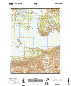
2018 · Iliamna C-4 NE
USGS Topo · 1:25,000
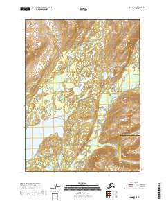
2018 · Iliamna D-3 SE
USGS Topo · 1:25,000
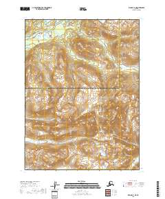
2018 · Iliamna C-3 NE
USGS Topo · 1:25,000
2018 · Iliamna C-3 SE
USGS Topo · 1:25,000