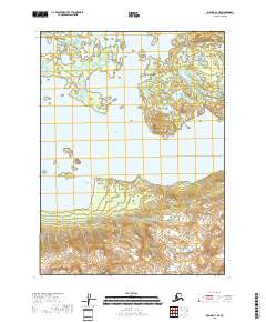
2018 Map of Iliamna C-4 NE
USGS Topo · Published 2018About this map
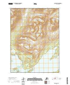
Iliamna Lake dominates this coastal Alaska landscape, where the freshwater expanse meets a complex shoreline of inlets and islands. Along the northern coast, the waters of Pedro Bay are sheltered by the surrounding terrain, while further east, Pile Bay marks a significant indentation in the shoreline. The map illustrates a transitional environment where the water gives way to several prominent landmarks including Flat Island, Porcupine Island, and the landmass of Squirrel Point. This 2018 survey provides an intricate view of the bathymetry and topography at the northeastern end of the lake, reflecting a region defined by its reliance on the water for transport and subsistence. The lack of established road networks underscores the isolation of these coastal features within the Lake and Peninsula Borough.
Find a feature on this map
10 named features on this map. Tap any name to fly to it.
Don’t see what you’re looking for? This feature index may not catch every label — zoom into the map to look around manually.
Map Details
Editions of this 2018 Iliamna C-4 NE Map
This is the sole edition of this map. No revisions or reprints were ever made.
Other maps of this area

1952 · Iliamna
USGS Topo · 1:250,000

1954 · Iliamna D-3
USGS Topo · 1:63,360

1954 · Iliamna D-4
USGS Topo · 1:63,360

1954 · Iliamna C-3
USGS Topo · 1:63,360

1954 · Iliamna C-4
USGS Topo · 1:63,360

1957 · Iliamna
USGS Topo · 1:250,000
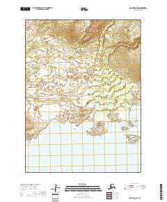
2018 · Iliamna D-4 SW
USGS Topo · 1:25,000
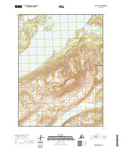
2018 · Iliamna C-3 NW
USGS Topo · 1:25,000
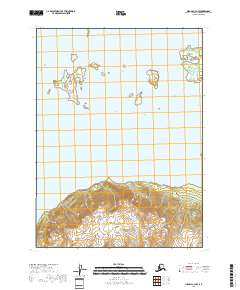
2018 · Iliamna C-4 NW
USGS Topo · 1:25,000
2018 · Iliamna D-3 SW
USGS Topo · 1:25,000