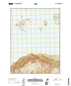
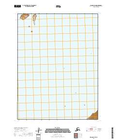
2018 Map of Iliamna C-4 NW
USGS Topo · Published 2018About this map
Iliamna Lake dominates this portion of the northern Alaska Peninsula, where the water meets a steep, rising landmass to the south. The aquatic landscape is punctuated by distinct landforms such as Triangle Island and the Seal Islands, which provide navigational reference points in this expansive body of water. The contrast between the open water and the dramatic elevational gains shown in the southern sections of the map highlights the geological transition from the lake basin to the surrounding uplands within Lake and Peninsula Borough. Surveyed with precision, the map establishes the township and range boundaries, including t5s r31w and t6s r30w, which are essential for understanding land divisions in this remote maritime environment.
Find a feature on this map
7 named features on this map. Tap any name to fly to it.
Don’t see what you’re looking for? This feature index may not catch every label — zoom into the map to look around manually.
Map Details
Editions of this 2018 Iliamna C-4 NW Map
This is the sole edition of this map. No revisions or reprints were ever made.
Other maps of this area

1952 · Iliamna
USGS Topo · 1:250,000

1954 · Iliamna C-5
USGS Topo · 1:63,360

1954 · Iliamna D-4
USGS Topo · 1:63,360

1954 · Iliamna C-4
USGS Topo · 1:63,360

1954 · Iliamna D-5
USGS Topo · 1:63,360

1957 · Iliamna
USGS Topo · 1:250,000
2018 · Iliamna C-4 NE
USGS Topo · 1:25,000
2018 · Iliamna D-5 SE
USGS Topo · 1:25,000
2018 · Iliamna D-4 SW
USGS Topo · 1:25,000
2018 · Iliamna C-5 NE
USGS Topo · 1:25,000