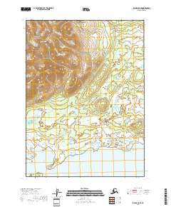
2018 Map of Iliamna D-5 SE
USGS Topo · Published 2018About this map
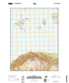
Iliamna Lake dominates the southern reaches of this 2018 survey, providing a clear view of the complex shoreline where the water meets the expansive Alaskan wilderness. The northern portion of the terrain transitions into the high elevations of the Lake Clark National Preserve, where the prominent peak of Roadhouse Mtn stands above the surrounding landscape.
Find a feature on this map
13 named features on this map. Tap any name to fly to it.
Don’t see what you’re looking for? This feature index may not catch every label — zoom into the map to look around manually.
Map Details
Editions of this 2018 Iliamna D-5 SE Map
This is the sole edition of this map. No revisions or reprints were ever made.
Other maps of this area

1952 · Iliamna
USGS Topo · 1:250,000

1954 · Iliamna C-5
USGS Topo · 1:63,360

1954 · Iliamna D-4
USGS Topo · 1:63,360

1954 · Iliamna C-4
USGS Topo · 1:63,360

1954 · Iliamna D-5
USGS Topo · 1:63,360

1957 · Iliamna
USGS Topo · 1:250,000
2018 · Iliamna D-5 NW
USGS Topo · 1:25,000
2018 · Iliamna C-5 NW
USGS Topo · 1:25,000
2018 · Iliamna D-4 SW
USGS Topo · 1:25,000
2018 · Iliamna C-4 NW
USGS Topo · 1:25,000