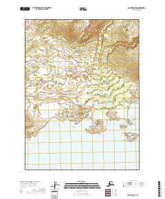
2018 Map of Iliamna D-4 SW
USGS Topo · Published 2018About this map
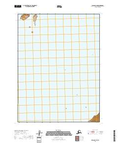
Iliamna Lake dominates the southern reaches of this landscape, its northern shoreline punctuated by the prominent Chekok Point and the sheltered waters of Chekok Bay and Fox Bay. The terrain transitions from the vast water body of the lake into a network of low-lying wetlands and complex drainage systems. Two primary watercourses, Chekok Cr and Canyon Cr, meander through the northern sections, defining the watershed patterns of the Lake and Peninsula borough. Small landmarks like Hat Island sit just offshore, providing navigational reference points in an area defined by the meeting of major inland water and the coastal interior. The map reveals a wild, unpopulated territory where the land is primarily organized by natural drainage and township boundaries rather than human settlement.
Find a feature on this map
13 named features on this map. Tap any name to fly to it.
Don’t see what you’re looking for? This feature index may not catch every label — zoom into the map to look around manually.
Map Details
Editions of this 2018 Iliamna D-4 SW Map
This is the sole edition of this map. No revisions or reprints were ever made.
Other maps of this area

1952 · Iliamna
USGS Topo · 1:250,000

1954 · Iliamna C-5
USGS Topo · 1:63,360

1954 · Iliamna D-4
USGS Topo · 1:63,360

1954 · Iliamna C-4
USGS Topo · 1:63,360

1954 · Iliamna D-5
USGS Topo · 1:63,360

1957 · Iliamna
USGS Topo · 1:250,000
2018 · Iliamna C-4 NE
USGS Topo · 1:25,000
2018 · Iliamna D-5 SE
USGS Topo · 1:25,000
2018 · Iliamna C-4 NW
USGS Topo · 1:25,000
2018 · Iliamna C-5 NE
USGS Topo · 1:25,000