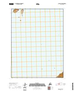
2018 Map of Iliamna C-5 NE
USGS Topo · Published 2018About this map
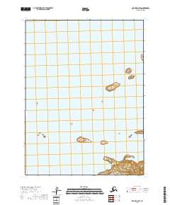
Iliamna Lake dominates this 2018 survey of the Lake and Peninsula Borough, representing a vast expanse of freshwater in the southwestern Alaskan interior. The map focuses almost entirely on the water's surface, save for the northern shore near Eagle Bay Island. This specific perspective highlights the isolation and scale of the region's hydrography, where the lake serves as the primary geographic constant. Mapping at this 1:25,000 scale provides a technical grid of the Public Land Survey System, including boundaries for t5s r32w and t6s r31w, which are essential for understanding land divisions in this largely uninhabited portion of Alaska.
Find a feature on this map
6 named features on this map. Tap any name to fly to it.
Don’t see what you’re looking for? This feature index may not catch every label — zoom into the map to look around manually.
Map Details
Editions of this 2018 Iliamna C-5 NE Map
This is the sole edition of this map. No revisions or reprints were ever made.
Other maps of this area

1952 · Iliamna
USGS Topo · 1:250,000

1954 · Iliamna C-5
USGS Topo · 1:63,360

1954 · Iliamna D-4
USGS Topo · 1:63,360

1954 · Iliamna C-4
USGS Topo · 1:63,360

1954 · Iliamna D-5
USGS Topo · 1:63,360

1957 · Iliamna
USGS Topo · 1:250,000
2018 · Iliamna D-5 SE
USGS Topo · 1:25,000
2018 · Iliamna C-5 NW
USGS Topo · 1:25,000
2018 · Iliamna D-4 SW
USGS Topo · 1:25,000
2018 · Iliamna C-5 SW
USGS Topo · 1:25,000