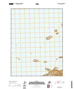
2018 Map of Iliamna C-5 SW
USGS Topo · Published 2018About this map
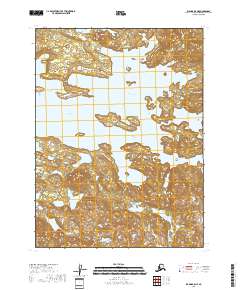
Iliamna Lake dominates this landscape in the Lake and Peninsula Borough of Alaska. This aquatic expanse is characterized by several small, unnamed islands and landforms that emerge from the water across the southeastern and southwestern sections of the map. The terrain is strictly defined by the Public Land Survey System, featuring township and range divisions such as t7s r32w and t8s r33w, which provide a precise grid for the uninhabited surroundings. This 2018 survey primarily documents the shoreline and bathymetry of the lake, offering a clear record of the water levels and coastal features of this part of the Alaska Peninsula. The absence of roads or settlements emphasizes the remote, natural character of the region during this period of the early twenty-first century.
Find a feature on this map
7 named features on this map. Tap any name to fly to it.
Don’t see what you’re looking for? This feature index may not catch every label — zoom into the map to look around manually.
Map Details
Editions of this 2018 Iliamna C-5 SW Map
This is the sole edition of this map. No revisions or reprints were ever made.
Other maps of this area

1951 · Iliamna B-5
USGS Topo · 1:63,360

1951 · Iliamna B-6
USGS Topo · 1:63,360

1952 · Iliamna
USGS Topo · 1:250,000

1954 · Iliamna C-6
USGS Topo · 1:63,360

1954 · Iliamna C-5
USGS Topo · 1:63,360
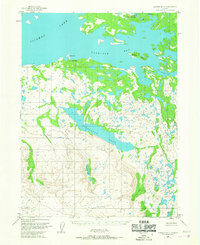
1954 · Iliamna B-5
USGS Topo · 1:63,360
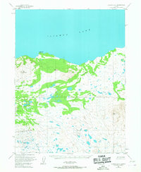
1954 · Iliamna B-6
USGS Topo · 1:63,360

1957 · Iliamna
USGS Topo · 1:250,000
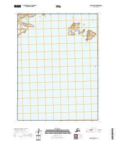
2018 · Iliamna C-5 NW
USGS Topo · 1:25,000
2018 · Iliamna B-5 NE
USGS Topo · 1:25,000