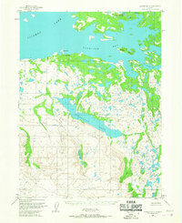
1954 Map of Iliamna B-5
USGS Topo · Published 1967About this map
Kakhonak serves as the primary focal point along the southern shores of Iliamna Lake in this mid-century topographical study. The map illustrates a landscape defined by glacial activity and remote water systems, including the expansive Gibraltar Lake and the smaller Emerald Lake tucked into the rising terrain. A designated Landing Area near the village and scattered Cabins along the shoreline indicate the importance of seasonal habitation and air or water-based access in this portion of the Alaska Peninsula.
Find a feature on this map
14 named features on this map. Tap any name to fly to it.
Don’t see what you’re looking for? This feature index may not catch every label — zoom into the map to look around manually.
Map Details
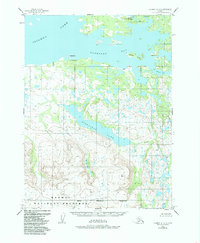
Editions of this 1954 Iliamna B-5 Map
2 editions found
Other maps of this area

1951 · Iliamna A-5
USGS Topo · 1:63,360

1951 · Iliamna A-4
USGS Topo · 1:63,360

1951 · Iliamna B-5
USGS Topo · 1:63,360

1951 · Iliamna B-6
USGS Topo · 1:63,360

1951 · Iliamna A-6
USGS Topo · 1:63,360

1952 · Iliamna
USGS Topo · 1:250,000

1952 · Iliamna A-4
USGS Topo · 1:63,360

1952 · Iliamna A-5
USGS Topo · 1:63,360

1954 · Iliamna C-6
USGS Topo · 1:63,360

1954 · Iliamna C-5
USGS Topo · 1:63,360