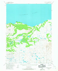
1954 Map of Iliamna B-6
USGS Topo · Published 1967About this map
Iliamna Lake dominates the northern horizon of this mid-century survey, its expansive shoreline punctuated by the prominent rise of Eagle Bluff. The landscape inland transitions into a complex network of drainage and low-lying wetlands, characterized by the winding courses of Dennis Creek and Belinda Creek. This 1954 field-annotated map provides a look at the region's early aviation and navigation infrastructure, most notably the isolated Landing Strip positioned southwest of Big Mountain. The terrain is further defined by distinctive geological features like Peters Plug, offering a clear view of the unsurveyed and unmarked land lines as they were predetermined by the Bureau of Land Management during the post-war era of Alaskan mapping.
Find a feature on this map
7 named features on this map. Tap any name to fly to it.
Don’t see what you’re looking for? This feature index may not catch every label — zoom into the map to look around manually.
Map Details
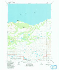
Editions of this 1954 Iliamna B-6 Map
2 editions found
Other maps of this area

1951 · Iliamna A-5
USGS Topo · 1:63,360

1951 · Iliamna A-7
USGS Topo · 1:63,360

1951 · Iliamna B-5
USGS Topo · 1:63,360

1951 · Iliamna B-7
USGS Topo · 1:63,360

1951 · Iliamna B-6
USGS Topo · 1:63,360

1951 · Iliamna A-6
USGS Topo · 1:63,360

1952 · Iliamna
USGS Topo · 1:250,000

1952 · Iliamna A-5
USGS Topo · 1:63,360

1954 · Iliamna C-6
USGS Topo · 1:63,360

1954 · Iliamna C-5
USGS Topo · 1:63,360