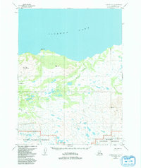
1954 Map of Iliamna B-6
USGS Topo · Published 1992About this map
Iliamna Lake dominates the northern expanse of this 1950s landscape, meeting a shoreline defined by the prominent Eagle Bluff. This interior Alaskan region, as surveyed just after the mid-century, reveals a wilderness largely shaped by its hydrology and high-relief terrain. To the south, the boundary of the Katmai National Preserve marks a transition into protected lands, where the peaks of Big Mountain and Vabm Amna overlook a complex network of wetlands and tundra. Evidence of mid-century aviation and regional access is grounded in the presence of a solitary Landing Strip situated near the western edge. Notable geological landmarks like Peters Plug and the drainages of Dennis Creek and Belinda Creek provide essential navigation points for those tracing the historical geography of the Lake and Peninsula area.
Find a feature on this map
14 named features on this map. Tap any name to fly to it.
Don’t see what you’re looking for? This feature index may not catch every label — zoom into the map to look around manually.
Map Details
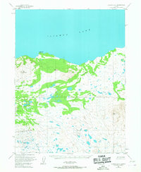
Editions of this 1954 Iliamna B-6 Map
2 editions found
Other maps of this area

1951 · Iliamna A-5
USGS Topo · 1:63,360

1951 · Iliamna A-7
USGS Topo · 1:63,360

1951 · Iliamna B-5
USGS Topo · 1:63,360

1951 · Iliamna B-7
USGS Topo · 1:63,360

1951 · Iliamna B-6
USGS Topo · 1:63,360

1951 · Iliamna A-6
USGS Topo · 1:63,360

1952 · Iliamna
USGS Topo · 1:250,000

1952 · Iliamna A-5
USGS Topo · 1:63,360

1954 · Iliamna C-6
USGS Topo · 1:63,360

1954 · Iliamna C-5
USGS Topo · 1:63,360