
1951 Map of Iliamna B-7
USGS Topo · Published 1956About this map
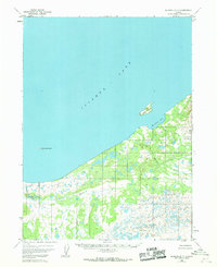
Iliamna Lake dominates the upper half of this mid-century survey, its expansive waters meeting a complex shoreline of inlets and low-lying wetlands. The southern interior is defined by the winding paths of Pecks Creek and Belinda Creek, which snake through a landscape marked by numerous small, unnamed ponds and glacial depressions. This specific terrain pattern reveals the transition from the high-energy shoreline of the lake to the water-saturated lowlands of the Alaska Peninsula.
Find a feature on this map
7 named features on this map. Tap any name to fly to it.
Don’t see what you’re looking for? This feature index may not catch every label — zoom into the map to look around manually.
Map Details
Editions of this 1951 Iliamna B-7 Map
2 editions found
Other maps of this area

1951 · Iliamna A-7
USGS Topo · 1:63,360

1951 · Iliamna A-8
USGS Topo · 1:63,360

1951 · Iliamna B-6
USGS Topo · 1:63,360

1951 · Iliamna A-6
USGS Topo · 1:63,360

1952 · Iliamna
USGS Topo · 1:250,000
1952 · Iliamna A-8
USGS Topo · 1:63,360

1954 · Iliamna C-6
USGS Topo · 1:63,360

1954 · Iliamna C-8
USGS Topo · 1:63,360
1954 · Iliamna B-6
USGS Topo · 1:63,360
1954 · Iliamna C-7
USGS Topo · 1:63,360