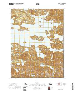
2018 Map of Iliamna B-5 NE
USGS Topo · Published 2018About this map
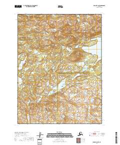
Iliamna Lake dominates this coastal landscape in the Lake and Peninsula Borough, where the vast water body meets the complex shorelines of Kokhanok Bay and Sid Larson Bay. The terrain transitions from the open waters of the lake, punctuated by Reindeer Island, into a high-relief interior marked by prominent elevations like Lookout Mtn. Small freshwater features such as Beaver Lake are scattered through the north, indicating a drainage pattern typical of this maritime region. The absence of roads or developed settlements highlights the wild character of the territory, defined largely by its topography and the interplay between the massive lake and its sheltered inlets.
Find a feature on this map
10 named features on this map. Tap any name to fly to it.
Don’t see what you’re looking for? This feature index may not catch every label — zoom into the map to look around manually.
Map Details
Editions of this 2018 Iliamna B-5 NE Map
This is the sole edition of this map. No revisions or reprints were ever made.
Other maps of this area

1951 · Iliamna B-5
USGS Topo · 1:63,360

1952 · Iliamna
USGS Topo · 1:250,000

1954 · Iliamna C-5
USGS Topo · 1:63,360

1954 · Iliamna C-4
USGS Topo · 1:63,360

1954 · Iliamna B-4
USGS Topo · 1:63,360
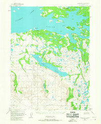
1954 · Iliamna B-5
USGS Topo · 1:63,360

1957 · Iliamna
USGS Topo · 1:250,000
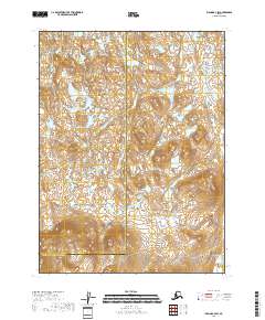
2018 · Iliamna B-4 SW
USGS Topo · 1:25,000
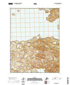
2018 · Iliamna B-5 NW
USGS Topo · 1:25,000
2018 · Iliamna B-4 NW
USGS Topo · 1:25,000