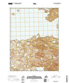
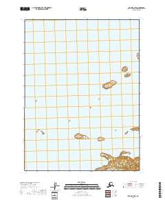
2018 Map of Iliamna B-5 NW
USGS Topo · Published 2018About this map
Kokhanok sits on the southern shore of Iliamna Lake, anchoring this remote landscape in the Lake and Peninsula Borough. The settlement's connection to the wider world is traced through the Kokhanok Airport, with several local routes including Kokhanok Airport Road, Old Airport Road, and Old Truck Rd providing the primary inland transit. This 2018 survey reveals a terrain defined by water and small-scale infrastructure, where the rugged southern shoreline meets the expansive waters of Alaska's largest lake.
Find a feature on this map
12 named features on this map. Tap any name to fly to it.
Don’t see what you’re looking for? This feature index may not catch every label — zoom into the map to look around manually.
Map Details
Editions of this 2018 Iliamna B-5 NW Map
This is the sole edition of this map. No revisions or reprints were ever made.
Other maps of this area

1951 · Iliamna B-5
USGS Topo · 1:63,360

1951 · Iliamna B-6
USGS Topo · 1:63,360

1952 · Iliamna
USGS Topo · 1:250,000

1954 · Iliamna C-6
USGS Topo · 1:63,360

1954 · Iliamna C-5
USGS Topo · 1:63,360
1954 · Iliamna B-5
USGS Topo · 1:63,360
1954 · Iliamna B-6
USGS Topo · 1:63,360

1957 · Iliamna
USGS Topo · 1:250,000
2018 · Iliamna B-5 NE
USGS Topo · 1:25,000
2018 · Iliamna C-5 SW
USGS Topo · 1:25,000