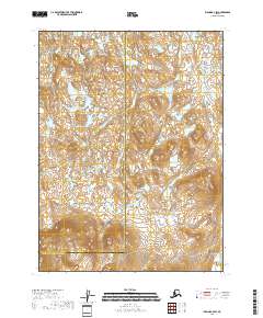
2018 Map of Iliamna B-4 SW
USGS Topo · Published 2018About this map
The jurisdictional boundary between Lake and Peninsula Borough and Kenai Peninsula Borough bisects this remote Alaskan landscape, marking a transition in administrative geography. The terrain is characterized by a dense network of unnamed lakes and high ridges that dominate the topography of the Iliamna region. The only named waterway, Danaletak Cr, snakes through the eastern portion of the map, serving as a primary drainage for the surrounding hills. This survey illustrates a wilderness nearly devoid of human infrastructure, reflecting the rugged and undeveloped nature of the Kenai Peninsula interior in the early twenty-first century. It is a portrait of a landscape defined by natural contours and hydrography rather than roads or settlements.
Find a feature on this map
8 named features on this map. Tap any name to fly to it.
Don’t see what you’re looking for? This feature index may not catch every label — zoom into the map to look around manually.
Map Details
Editions of this 2018 Iliamna B-4 SW Map
This is the sole edition of this map. No revisions or reprints were ever made.
Other maps of this area

1951 · Iliamna A-5
USGS Topo · 1:63,360

1951 · Iliamna A-4
USGS Topo · 1:63,360

1951 · Iliamna B-5
USGS Topo · 1:63,360

1952 · Iliamna
USGS Topo · 1:250,000

1952 · Iliamna A-4
USGS Topo · 1:63,360

1952 · Iliamna A-5
USGS Topo · 1:63,360

1954 · Iliamna B-4
USGS Topo · 1:63,360
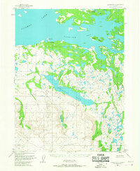
1954 · Iliamna B-5
USGS Topo · 1:63,360

1957 · Iliamna
USGS Topo · 1:250,000
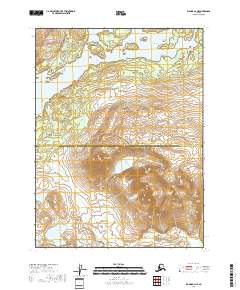
2018 · Iliamna B-4 NE
USGS Topo · 1:25,000