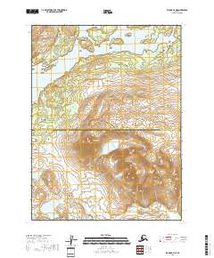
2018 Map of Iliamna B-4 NE
USGS Topo · Published 2018About this map
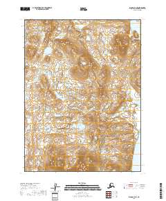
Kokhanok Lake dominates the northern reaches of this Alaskan landscape, where the waters meet a complex terrain of dramatic elevation changes and shorelines. Further south, the prominent ridges of the Seven Sisters rise between the major water bodies, marking a significant topographical transition in the region. The map documents the jurisdictional boundary where the Lake and Peninsula Borough meets the Kenai Peninsula Borough, an important reference point for land management and regional history. Near the southern edge, the smaller Venturi Lake sits in a basin surrounded by steep contours, illustrating the glacial and hydraulic patterns characteristic of this remote wilderness. The absence of roads or developed settlements highlights the wild state of the territory as recorded by the U.S. Geological Survey in the early 21st century.
Find a feature on this map
8 named features on this map. Tap any name to fly to it.
Don’t see what you’re looking for? This feature index may not catch every label — zoom into the map to look around manually.
Map Details
Editions of this 2018 Iliamna B-4 NE Map
This is the sole edition of this map. No revisions or reprints were ever made.
Other maps of this area

1952 · Iliamna
USGS Topo · 1:250,000

1954 · Iliamna C-3
USGS Topo · 1:63,360

1954 · Iliamna B-3
USGS Topo · 1:63,360

1954 · Iliamna C-4
USGS Topo · 1:63,360

1954 · Iliamna B-4
USGS Topo · 1:63,360

1957 · Iliamna
USGS Topo · 1:250,000
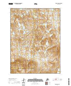
2018 · Iliamna B-4 SW
USGS Topo · 1:25,000
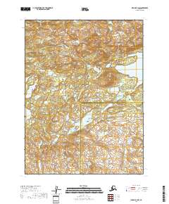
2018 · Iliamna B-4 NW
USGS Topo · 1:25,000
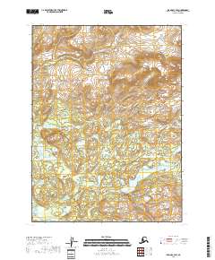
2018 · Iliamna C-4 SW
USGS Topo · 1:25,000
2018 · Iliamna B-4 SE
USGS Topo · 1:25,000