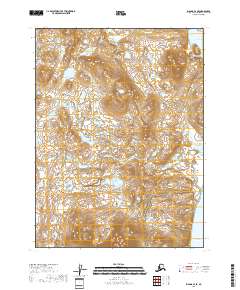
2018 Map of Iliamna B-4 SE
USGS Topo · Published 2018About this map
Amakdedori Creek winds through a landscape of glacial drainages and coastal wetlands before reaching the Pacific Ocean on this western shore of the Kenai Peninsula. The terrain is defined by complex hydrology, including the northern waters of Bruin Bay and the tributary course of Dutton Creek. This 2018 survey reveals a largely untouched coastal ecosystem where various branches of Amakdedori Creek form a network of braided channels and seasonal ponds. The map captures the meeting of the Aleutian Range foothills with the sea, providing a precise record of the shoreline and maritime boundaries within the Iliamna region. It is a valuable document for those studying the shifting water levels and coastal geomorphology of this remote Alaskan district.
Find a feature on this map
11 named features on this map. Tap any name to fly to it.
Don’t see what you’re looking for? This feature index may not catch every label — zoom into the map to look around manually.
Map Details
Editions of this 2018 Iliamna B-4 SE Map
This is the sole edition of this map. No revisions or reprints were ever made.
Other maps of this area

1951 · Iliamna A-4
USGS Topo · 1:63,360

1951 · Iliamna A-3
USGS Topo · 1:63,360

1952 · Iliamna
USGS Topo · 1:250,000

1952 · Iliamna A-4
USGS Topo · 1:63,360

1954 · Iliamna B-3
USGS Topo · 1:63,360

1954 · Iliamna B-4
USGS Topo · 1:63,360

1957 · Iliamna
USGS Topo · 1:250,000
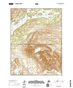
2018 · Iliamna B-4 NE
USGS Topo · 1:25,000
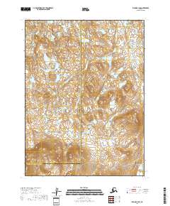
2018 · Iliamna B-4 SW
USGS Topo · 1:25,000
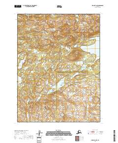
2018 · Iliamna B-4 NW
USGS Topo · 1:25,000